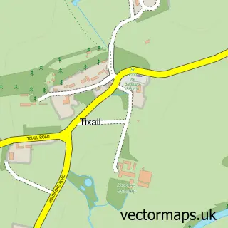
This Brocton street map is a detailed vector street map covering a 750m x 750m area. Select a larger area to create and download your own vector street map of Brocton.
The 750-metre map sample for Brocton covers 276 mapped buildings and approximately 12.8 km of road detail, of which 15 named roads are named. The immediate area includes 1 GP surgery within 2 miles and 2 MOT stations within 2 miles. To create a larger or custom map of Brocton, the map builder lets you define your own coverage area and download editable SVG, PDF and PNG files.
Create a larger editable map of Brocton
Choose any area you need and generate a high-quality vector map instantly. Perfect for print, planning, design, business and personal use.

This Brocton street map in Staffordshire is available as downloadable SVG, PDF and PNG map files, or as a printed map for planning, business, display, education, local information and design work. You can also create a larger custom map area using the map selector.
What this Brocton map sample shows
Brocton lies within Brocton Cp parish, part of Milford ward in the Stafford District (B) local authority area. The postcode geography for this area includes the ST postcode area, the ST17 postcode district and the ST17 0 postcode sector. Residents fall under the Nhs Staffordshire And Stoke-On-Trent Integrated Care Board for NHS services.
Local features near Brocton
Within 2 milesAmenities and services in and around Brocton.
Administrative and postcode information for Brocton
Brocton lies within Brocton Cp parish, part of Milford ward in the Stafford District (B) local authority area. The postcode geography for this area includes the ST postcode area, the ST17 postcode district and the ST17 0 postcode sector. Residents fall under the Nhs Staffordshire And Stoke-On-Trent Integrated Care Board for NHS services.
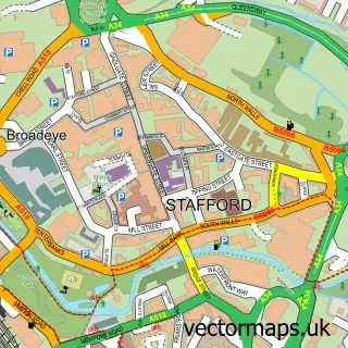
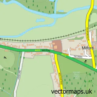
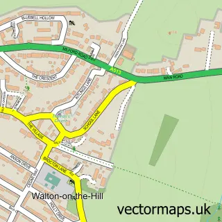
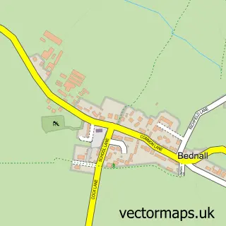
Nearby street map samples around Brocton


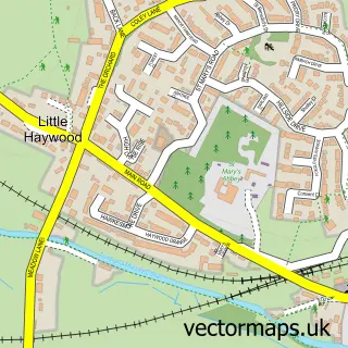
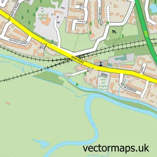
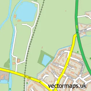
More street maps in Staffordshire
750 metre map area coverage
Boundary, postcode and point of interest information for the 750m x 750m rectangle centred on this sample map.
Boundaries containing map centre
Constituency: Stone, Great Wyrley and Penkridge Co Const
County: Staffordshire County
District: Stafford District (B)
Icb: NHS Staffordshire and Stoke-on-Trent ICB
Parish: Brocton CP
Police Force: staffordshire
Postcode District: ST17
Postcode Sector: ST17 0
Ward: Milford Ward
Nearby boundaries intersecting sample
No additional intersecting boundaries found.
Postcode coverage
POI category counts
Shipping Center: 2
Alternative Medicine: 1
Anglican Church: 1
Auto Electrical Repair: 1
Carpenter: 1
Community Center: 1
Cupcake Shop: 1
Currency Exchange: 1
Environmental Conservation Organization: 1
Golf Course: 1
Sample points of interest
- Julie Cain
- Berkswich: All Saints
- Day And Knight
- Property Enhancements
- Brocton Village Hall
- Kookerburra Cakes | Stafford
- Post Office Travel Money
- Price Marriner & Associates
- Brocton Hall Golf Club
- Hilary's Childminding Services
- Cherry Clough Consultants
- Brocton Nursery
Create a larger editable map of Brocton
This sample shows only a 750 metre area. To create a larger map of Brocton, use our map builder to choose your own coverage area, add titles and download editable SVG, PDF and PNG files.
Create a custom map of Brocton