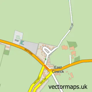
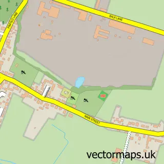
This Carlton street map is a detailed vector street map covering a 750m x 750m area. Select a larger area to create and download your own vector street map of Carlton.
The 750-metre map sample for Carlton covers 429 mapped buildings and approximately 19.3 km of road detail, of which 31 named roads are named. The immediate area includes 1 GP surgery within 2 miles, 2 pubs and 4 MOT stations within 2 miles. The wider area around Carlton features 3 tourism points of interest, 2 food and drink venues and 1 hotel. To create a larger or custom map of Carlton, the map builder lets you define your own coverage area and download editable SVG, PDF and PNG files.
Create a larger editable map of Carlton
Choose any area you need and generate a high-quality vector map instantly. Perfect for print, planning, design, business and personal use.

This Carlton street map in North Yorkshire is available as downloadable SVG, PDF and PNG map files, or as a printed map for planning, business, display, education, local information and design work. You can also create a larger custom map area using the map selector.
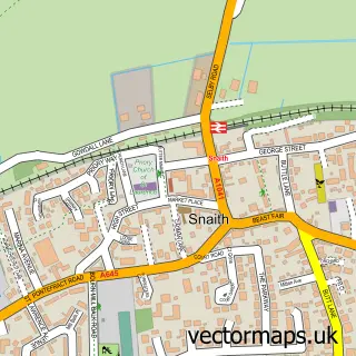
What this Carlton map sample shows
Carlton lies within Carlton Cp parish, part of Camblesforth & Carlton ward in the North Yorkshire local authority area. The postcode geography for this area includes the DN postcode area, the DN14 postcode district and the DN14 9 postcode sector. Residents fall under the Nhs Humber And North Yorkshire Integrated Care Board for NHS services.
Local features near Carlton
Within 2 milesAmenities and services in and around Carlton.
Administrative and postcode information for Carlton
Carlton lies within Carlton Cp parish, part of Camblesforth & Carlton ward in the North Yorkshire local authority area. The postcode geography for this area includes the DN postcode area, the DN14 postcode district and the DN14 9 postcode sector. Residents fall under the Nhs Humber And North Yorkshire Integrated Care Board for NHS services.
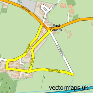
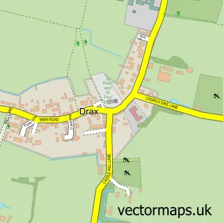
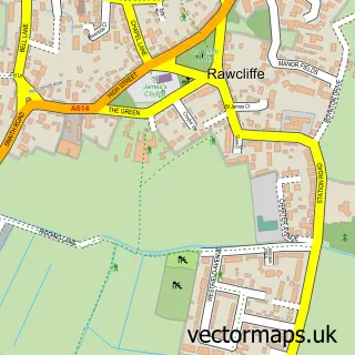
Nearby street map samples around Carlton

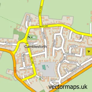
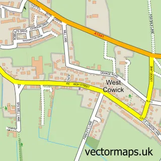
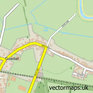
More street maps in North Yorkshire
750 metre map area coverage
Boundary, postcode and point of interest information for the 750m x 750m rectangle centred on this sample map.
Boundaries containing map centre
Constituency: Selby Co Const
District: North Yorkshire
Icb: NHS Humber and North Yorkshire ICB
Parish: Carlton CP
Police Force: north yorkshire
Postcode District: DN14
Postcode Sector: DN14 9
Nearby boundaries intersecting sample
No additional intersecting boundaries found.
Postcode coverage
POI category counts
Convenience Store: 4
Anglican Church: 2
Arts And Crafts: 2
Bar: 2
Brewery: 2
Community Center: 2
Landmark And Historical Building: 2
Pub: 2
Rental Kiosks: 2
Amusement Park: 1
Sample points of interest
- F C Equestrian
- St Mary's, Carlton, North Yorkshire
- The Parish Church of Saint Mary
- Esme's Crafts
- Twigs And Sprigs
- Pipingscot
- Lincolnshire Co-op - Carlton, Carlton
- Cock Inn
- Wonky Donkey Bar
- Lusso at Carlton Tower
- Snaith Salad Growers
- Little Black Dog Beer Company
Create a larger editable map of Carlton
This sample shows only a 750 metre area. To create a larger map of Carlton, use our map builder to choose your own coverage area, add titles and download editable SVG, PDF and PNG files.
Create a custom map of Carlton