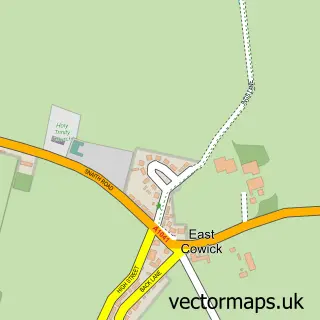
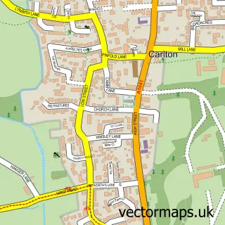
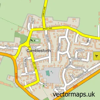
This East Cowick street map is a detailed vector street map covering a 750m x 750m area. Select a larger area to create and download your own vector street map of East Cowick.
The 750-metre map sample for East Cowick covers 117 mapped buildings and approximately 13.4 km of road detail, of which 8 named roads are named. The immediate area includes 1 school, 1 GP surgery within 2 miles and 4 MOT stations within 2 miles. The wider area around East Cowick features 2 food and drink venues, 1 hotel and 1 campsite within 2 miles. To create a larger or custom map of East Cowick, the map builder lets you define your own coverage area and download editable SVG, PDF and PNG files.
Create a larger editable map of East Cowick
Choose any area you need and generate a high-quality vector map instantly. Perfect for print, planning, design, business and personal use.

This East Cowick street map in East Riding of Yorkshire is available as downloadable SVG, PDF and PNG map files, or as a printed map for planning, business, display, education, local information and design work. You can also create a larger custom map area using the map selector.
What this East Cowick map sample shows
East Cowick lies within Snaith And Cowick Cp parish, part of Snaith, Airmyn, Rawcliffe And Marshland ward in the East Riding Of Yorkshire local authority area. The postcode geography for this area includes the DN postcode area, the DN14 postcode district and the DN14 9 postcode sector. Residents fall under the Nhs Humber And North Yorkshire Integrated Care Board for NHS services.
Local features near East Cowick
Within 2 milesAmenities and services in and around East Cowick.
Administrative and postcode information for East Cowick
The local authority covering East Cowick is East Riding Of Yorkshire, within the county of East Riding Of Yorkshire. The settlement lies within Snaith, Airmyn, Rawcliffe And Marshland ward and Snaith And Cowick Cp civil parish. The DN14 postcode district and DN14 9 postcode sector serve the immediate area. NHS provision in the area is delivered through Northern Lincolnshire And Goole Nhs Foundation Trust.
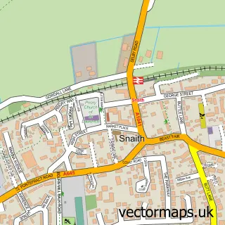
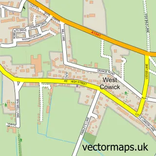
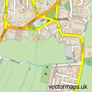
Nearby street map samples around East Cowick

More street maps in East Riding of Yorkshire
750 metre map area coverage
Boundary, postcode and point of interest information for the 750m x 750m rectangle centred on this sample map.
Boundaries containing map centre
Constituency: Goole and Pocklington Co Const
District: East Riding of Yorkshire
Icb: NHS Humber and North Yorkshire ICB
Parish: Snaith and Cowick CP
Police Force: humberside
Postcode District: DN14
Postcode Sector: DN14 9
Ward: Snaith, Airmyn, Rawcliffe and Marshland Ward
Nearby boundaries intersecting sample
No additional intersecting boundaries found.
Postcode coverage
POI category counts
Cafe: 1
Church Cathedral: 1
Coffee Shop: 1
Contractor: 1
Dog Trainer: 1
Elementary School: 1
Hair Salon: 1
Health And Medical: 1
Hotel: 1
Indian Restaurant: 1
Sample points of interest
- Cafe2U UK
- Cowick Church
- The Proper Coffee Box
- N Zaifert
- Positive Dog Training Solutions
- Cowick Church of England Primary School
- Refine
- HandHygiene4U
- The Bay Horse
- Shapla Indian
- Dawn Mellor
- Turnbridge Day Nursery
Create a larger editable map of East Cowick
This sample shows only a 750 metre area. To create a larger map of East Cowick, use our map builder to choose your own coverage area, add titles and download editable SVG, PDF and PNG files.
Create a custom map of East Cowick