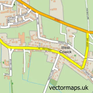
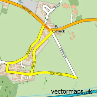
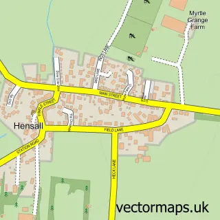
This Snaith street map is a detailed vector street map covering a 750m x 750m area. Select a larger area to create and download your own vector street map of Snaith.
The 750-metre map sample for Snaith covers 418 mapped buildings and approximately 16.0 km of road detail, of which 40 named roads are named. The immediate area includes 1 railway station, 1 GP surgery, 6 pubs and 2 MOT stations, with 4 within 2 miles. The wider area around Snaith features 8 food and drink venues and 2 campsites within 2 miles. To create a larger or custom map of Snaith, the map builder lets you define your own coverage area and download editable SVG, PDF and PNG files.
Create a larger editable map of Snaith
Choose any area you need and generate a high-quality vector map instantly. Perfect for print, planning, design, business and personal use.

This Snaith street map in East Riding of Yorkshire is available as downloadable SVG, PDF and PNG map files, or as a printed map for planning, business, display, education, local information and design work. You can also create a larger custom map area using the map selector.
What this Snaith map sample shows
Snaith lies within Snaith And Cowick Cp parish, part of Snaith, Airmyn, Rawcliffe And Marshland ward in the East Riding Of Yorkshire local authority area. The postcode geography for this area includes the DN postcode area, the DN14 postcode district and the DN14 9 postcode sector. Residents fall under the Nhs Humber And North Yorkshire Integrated Care Board for NHS services.
Local features near Snaith
Within 2 milesAmenities and services in and around Snaith.
Administrative and postcode information for Snaith
The local authority covering Snaith is East Riding Of Yorkshire, within the county of East Riding Of Yorkshire. The settlement lies within Snaith, Airmyn, Rawcliffe And Marshland ward and Snaith And Cowick Cp civil parish. The DN14 postcode district and DN14 9 postcode sector serve the immediate area. NHS provision in the area is delivered through Northern Lincolnshire And Goole Nhs Foundation Trust.
Nearby street map samples around Snaith

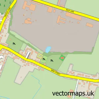
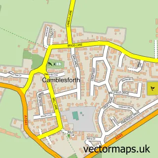
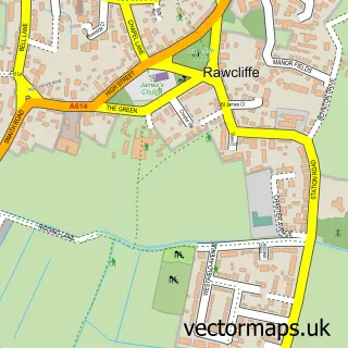
More street maps in East Riding of Yorkshire
750 metre map area coverage
Boundary, postcode and point of interest information for the 750m x 750m rectangle centred on this sample map.
Boundaries containing map centre
Constituency: Goole and Pocklington Co Const
District: East Riding of Yorkshire
Icb: NHS Humber and North Yorkshire ICB
Parish: Snaith and Cowick CP
Police Force: humberside
Postcode District: DN14
Postcode Sector: DN14 9
Ward: Snaith, Airmyn, Rawcliffe and Marshland Ward
Nearby boundaries intersecting sample
Police Force: north yorkshire
Postcode Sector: DN14 0
Postcode coverage
POI category counts
Beauty Salon: 6
Pub: 6
Gas Station: 4
Hair Salon: 4
Pet Store: 4
Automotive Repair: 3
Business Management Services: 2
Church Cathedral: 2
Coffee Shop: 2
Dentist: 2
Sample points of interest
- The Barn
- Just Peel
- Snaith Church - St Laurence Priory
- The Cooperative Food Snaith, Snaith
- Central Garage Snaith
- Autotech
- Central Garage
- yorkshire trade car centre
- Manor House Bar
- TOPFADE
- The Beauty barn and Aesthetics at snaith
- Perfect Touch
Create a larger editable map of Snaith
This sample shows only a 750 metre area. To create a larger map of Snaith, use our map builder to choose your own coverage area, add titles and download editable SVG, PDF and PNG files.
Create a custom map of Snaith