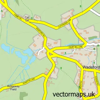
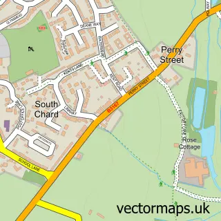
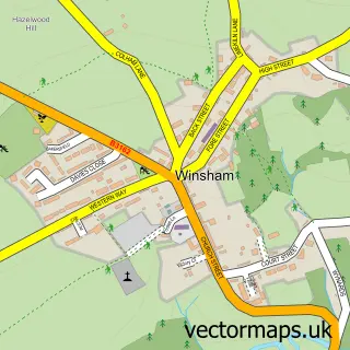
This Chard street map is a detailed vector street map covering a 750m x 750m area. Select a larger area to create and download your own vector street map of Chard.
The 750-metre map sample for Chard covers 276 mapped buildings and approximately 13.5 km of road detail, of which 31 named roads are named. The immediate area includes 1 school, 1 GP surgery within 2 miles, 3 pubs and 1 MOT station, with 8 within 2 miles. The wider area around Chard features 3 tourism points of interest, 10 food and drink venues and 2 hotels. To create a larger or custom map of Chard, the map builder lets you define your own coverage area and download editable SVG, PDF and PNG files.
Create a larger editable map of Chard
Choose any area you need and generate a high-quality vector map instantly. Perfect for print, planning, design, business and personal use.

This Chard street map in Somerset is available as downloadable SVG, PDF and PNG map files, or as a printed map for planning, business, display, education, local information and design work. You can also create a larger custom map area using the map selector.
What this Chard map sample shows
Chard lies within Chard Town Cp parish, part of Chard Jocelyn ward in the Somerset local authority area. The postcode geography for this area includes the TA postcode area, the TA20 postcode district and the TA20 2 postcode sector. Residents fall under the Nhs Somerset Integrated Care Board for NHS services.
Local features near Chard
Within 2 milesAmenities and services in and around Chard.
Administrative and postcode information for Chard
The local authority covering Chard is Somerset, within the county of Somerset. The settlement lies within Chard Jocelyn ward and Chard Town Cp civil parish. The TA20 postcode district and TA20 2 postcode sector serve the immediate area. NHS provision in the area is delivered through Somerset Nhs Foundation Trust.
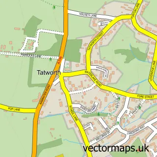
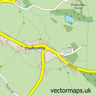
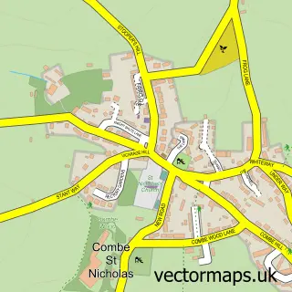
Nearby street map samples around Chard

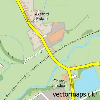
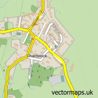
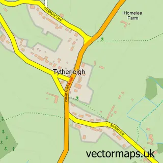
More street maps in Somerset
750 metre map area coverage
Boundary, postcode and point of interest information for the 750m x 750m rectangle centred on this sample map.
Boundaries containing map centre
Constituency: Yeovil Co Const
District: Somerset
Icb: NHS Somerset ICB
Parish: Chard Town CP
Police Force: avon and somerset
Postcode District: TA20
Postcode Sector: TA20 2
Nearby boundaries intersecting sample
Postcode Sector: TA20 1
Postcode coverage
POI category counts
Clothing Store: 5
Flowers And Gifts Shop: 5
Real Estate Agent: 5
Alternative Medicine: 4
Bank Credit Union: 4
Barber: 4
Church Cathedral: 4
Gas Station: 4
Beauty And Spa: 3
Beauty Salon: 3
Sample points of interest
- Chard/Ilminster Cycle Path
- Ash Hill Natural Health Centre
- British Meditation Society
- Nine Springs Clinic Chard
- R Phillimore & Associates
- The Good Shepherd
- Stuart Bull Antiques
- Air Control Industries
- Studio 1610 Fused Glass
- T P Awards
- Apollo
- South Somerset Homes
Create a larger editable map of Chard
This sample shows only a 750 metre area. To create a larger map of Chard, use our map builder to choose your own coverage area, add titles and download editable SVG, PDF and PNG files.
Create a custom map of Chard