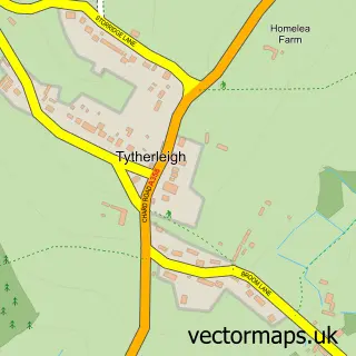
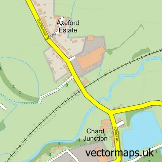
This Chardstock street map is a detailed vector street map covering a 750m x 750m area. Select a larger area to create and download your own vector street map of Chardstock.
The 750-metre map sample for Chardstock covers 208 mapped buildings and approximately 8.7 km of road detail, of which 6 named roads are named. The immediate area includes 1 school and 1 MOT station within 2 miles. To create a larger or custom map of Chardstock, the map builder lets you define your own coverage area and download editable SVG, PDF and PNG files.
Create a larger editable map of Chardstock
Choose any area you need and generate a high-quality vector map instantly. Perfect for print, planning, design, business and personal use.

This Chardstock street map in Devon is available as downloadable SVG, PDF and PNG map files, or as a printed map for planning, business, display, education, local information and design work. You can also create a larger custom map area using the map selector.
What this Chardstock map sample shows
Chardstock lies within Chardstock Cp parish, part of Yarty ward in the East Devon District local authority area. The postcode geography for this area includes the EX postcode area, the EX13 postcode district and the EX13 7 postcode sector. Residents fall under the Nhs Devon Integrated Care Board for NHS services.
Local features near Chardstock
Within 2 milesAmenities and services in and around Chardstock.
Administrative and postcode information for Chardstock
Chardstock lies within Chardstock Cp parish, part of Yarty ward in the East Devon District local authority area. The postcode geography for this area includes the EX postcode area, the EX13 postcode district and the EX13 7 postcode sector. Residents fall under the Nhs Devon Integrated Care Board for NHS services.
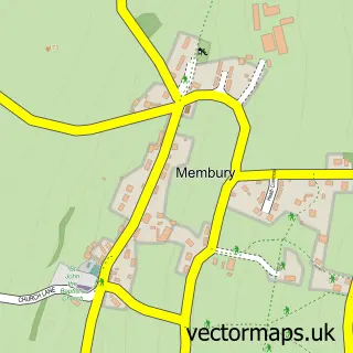
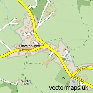
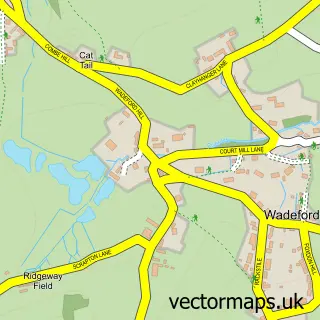
Nearby street map samples around Chardstock

More street maps in Devon
750 metre map area coverage
Boundary, postcode and point of interest information for the 750m x 750m rectangle centred on this sample map.
Boundaries containing map centre
Constituency: Honiton and Sidmouth Co Const
County: Devon County
District: East Devon District
Icb: NHS Devon ICB
Parish: Chardstock CP
Police Force: devon and cornwall
Postcode District: EX13
Postcode Sector: EX13 7
Ward: Yarty Ward
Nearby boundaries intersecting sample
No additional intersecting boundaries found.
Postcode coverage
POI category counts
Post Office: 3
Elementary School: 2
Anglican Church: 1
Bar: 1
Building Supply Store: 1
Convenience Store: 1
Currency Exchange: 1
Gift Shop: 1
Linen: 1
Massage Therapy: 1
Sample points of interest
- St Andrew Chardstock
- The George Inn
- Chardstock Joinery
- Chardstock Community Shop
- Post Office Travel Money
- Chardstock St Andrews Primary School
- St Andrew's CE Primary Academy
- Acorn Gift Shop
- Somer Blinds
- Axe Valley Shiatsu
- Half Moon Plumbing & Heating Limited
- Chardstock Post Office
Create a larger editable map of Chardstock
This sample shows only a 750 metre area. To create a larger map of Chardstock, use our map builder to choose your own coverage area, add titles and download editable SVG, PDF and PNG files.
Create a custom map of Chardstock