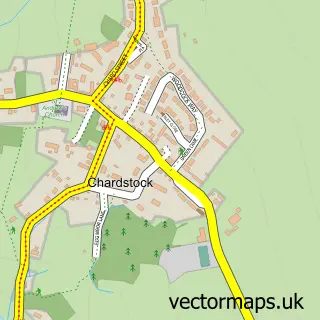
This Tytherleigh street map is a detailed vector street map covering a 750m x 750m area. Select a larger area to create and download your own vector street map of Tytherleigh.
The 750-metre map sample for Tytherleigh covers 105 mapped buildings and approximately 8.2 km of road detail, of which 3 named roads are named. The immediate area includes 2 pubs and 1 MOT station within 2 miles. The wider area around Tytherleigh features 1 tourism point of interest and 3 food and drink venues. To create a larger or custom map of Tytherleigh, the map builder lets you define your own coverage area and download editable SVG, PDF and PNG files.
Create a larger editable map of Tytherleigh
Choose any area you need and generate a high-quality vector map instantly. Perfect for print, planning, design, business and personal use.

This Tytherleigh street map in Devon is available as downloadable SVG, PDF and PNG map files, or as a printed map for planning, business, display, education, local information and design work. You can also create a larger custom map area using the map selector.
What this Tytherleigh map sample shows
Tytherleigh lies within Chardstock Cp parish, part of Yarty ward in the East Devon District local authority area. The postcode geography for this area includes the EX postcode area, the EX13 postcode district and the EX13 7 postcode sector. Residents fall under the Nhs Devon Integrated Care Board for NHS services.
Local features near Tytherleigh
Within 2 milesAmenities and services in and around Tytherleigh.
Administrative and postcode information for Tytherleigh
Tytherleigh lies within Chardstock Cp parish, part of Yarty ward in the East Devon District local authority area. The postcode geography for this area includes the EX postcode area, the EX13 postcode district and the EX13 7 postcode sector. Residents fall under the Nhs Devon Integrated Care Board for NHS services.
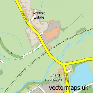
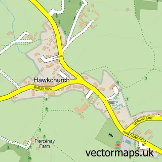
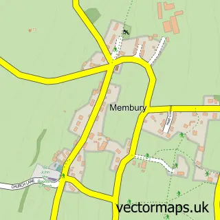
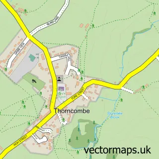
Nearby street map samples around Tytherleigh
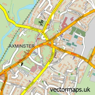

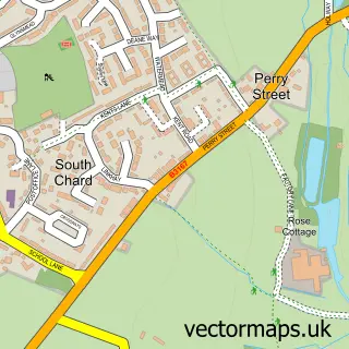
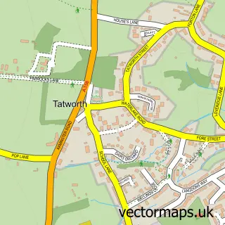
More street maps in Devon
750 metre map area coverage
Boundary, postcode and point of interest information for the 750m x 750m rectangle centred on this sample map.
Boundaries containing map centre
Constituency: Honiton and Sidmouth Co Const
County: Devon County
District: East Devon District
Icb: NHS Devon ICB
Parish: Chardstock CP
Police Force: devon and cornwall
Postcode District: EX13
Postcode Sector: EX13 7
Ward: Yarty Ward
Nearby boundaries intersecting sample
Constituency: Yeovil Co Const
District: Somerset
Parish: Tatworth and Forton CP
Police Force: avon and somerset
Postcode District: TA20
Postcode Sector: TA20 2
Postcode coverage
POI category counts
Antique Store: 2
Pub: 2
Cottage: 1
Electrician: 1
Environmental Conservation Organization: 1
Farmers Market: 1
Fashion Accessories Store: 1
Landmark And Historical Building: 1
Restaurant: 1
Sample points of interest
- The Trading Post
- The Vintage Trading Post
- Horse and Broom Holiday Cottages
- Mike Copp Electrical
- New Leaf Ecology
- Tytherleigh Farm shop
- Alpacastuff
- Tytherleigh
- The Tytherleigh Arms
- Tytherleigh Arms
- The Cabin Tytherleigh
Create a larger editable map of Tytherleigh
This sample shows only a 750 metre area. To create a larger map of Tytherleigh, use our map builder to choose your own coverage area, add titles and download editable SVG, PDF and PNG files.
Create a custom map of Tytherleigh