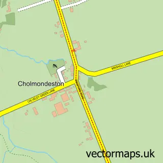
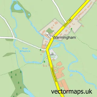
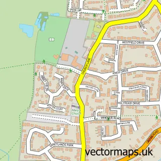
This Church Minshull street map is a detailed vector street map covering a 750m x 750m area. Select a larger area to create and download your own vector street map of Church Minshull.
The 750-metre map sample for Church Minshull covers 60 mapped buildings and approximately 7.0 km of road detail, of which 4 named roads are named. The immediate area includes 2 pubs. The wider area around Church Minshull features 2 food and drink venues. To create a larger or custom map of Church Minshull, the map builder lets you define your own coverage area and download editable SVG, PDF and PNG files.
Create a larger editable map of Church Minshull
Choose any area you need and generate a high-quality vector map instantly. Perfect for print, planning, design, business and personal use.

This Church Minshull street map in Cheshire is available as downloadable SVG, PDF and PNG map files, or as a printed map for planning, business, display, education, local information and design work. You can also create a larger custom map area using the map selector.
What this Church Minshull map sample shows
Church Minshull lies within Church Minshull Cp parish, part of Bunbury ward in the Cheshire East (B) local authority area. The postcode geography for this area includes the CW postcode area, the CW5 postcode district and the CW5 6 postcode sector. Residents fall under the Nhs Cheshire And Merseyside Integrated Care Board for NHS services.
Local features near Church Minshull
Within 2 milesAmenities and services in and around Church Minshull.
Administrative and postcode information for Church Minshull
The local authority covering Church Minshull is Cheshire East (B), within the county of Cheshire. The settlement lies within Bunbury ward and Church Minshull Cp civil parish. The CW5 postcode district and CW5 6 postcode sector serve the immediate area. NHS provision in the area is delivered through Mid Cheshire Hospitals Nhs Foundation Trust.
Nearby street map samples around Church Minshull

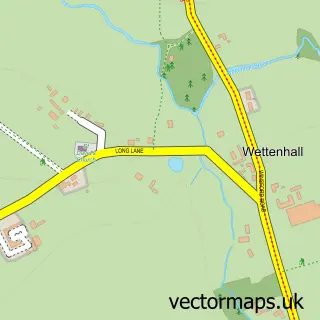
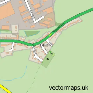
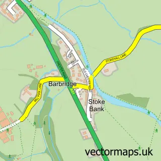
More street maps in Cheshire
750 metre map area coverage
Boundary, postcode and point of interest information for the 750m x 750m rectangle centred on this sample map.
Boundaries containing map centre
Constituency: Chester South and Eddisbury Co Const
District: Cheshire East (B)
Icb: NHS Cheshire and Merseyside ICB
Parish: Church Minshull CP
Police Force: cheshire
Postcode District: CW5
Postcode Sector: CW5 6
Ward: Bunbury Ward
Nearby boundaries intersecting sample
Parish: Minshull Vernon CP
Postcode District: CW1
Postcode Sector: CW1 4
Postcode coverage
POI category counts
Pub: 2
Bed And Breakfast: 1
Church Cathedral: 1
Community Center: 1
Event Planning: 1
Flowers And Gifts Shop: 1
Landscaping: 1
Printing Services: 1
Trailer Dealer: 1
Sample points of interest
- Higher Elms Farm
- St Bartholomew's Church, Church Minshull
- Church Minshull Village Hall
- Jarvis Woodhouse Events
- Distinctive Designs & Covent Garden
- Johnson Services
- Look After My Meetings
- Badger Inn
- The Badger Inn
- Leisure Vehicle Buyer
Create a larger editable map of Church Minshull
This sample shows only a 750 metre area. To create a larger map of Church Minshull, use our map builder to choose your own coverage area, add titles and download editable SVG, PDF and PNG files.
Create a custom map of Church Minshull