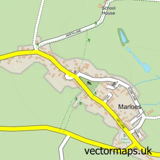
This Dale street map is a detailed vector street map covering a 750m x 750m area. Select a larger area to create and download your own vector street map of Dale.
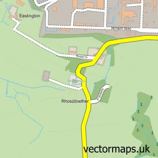
The 750-metre map sample for Dale covers 78 mapped buildings and approximately 7.6 km of road detail, of which 3 named roads are named. The immediate area includes 1 pub. The wider area around Dale features 4 food and drink venues, 1 hotel and 1 campsite within 2 miles. To create a larger or custom map of Dale, the map builder lets you define your own coverage area and download editable SVG, PDF and PNG files.
Create a larger editable map of Dale
Choose any area you need and generate a high-quality vector map instantly. Perfect for print, planning, design, business and personal use.

This Dale street map in Dyfed is available as downloadable SVG, PDF and PNG map files, or as a printed map for planning, business, display, education, local information and design work. You can also create a larger custom map area using the map selector.
What this Dale map sample shows
Dale lies within Dale Community parish, part of St. Ishmael's ward in the Sir Benfro - Pembrokeshire local authority area. The postcode geography for this area includes the SA postcode area, the SA62 postcode district and the SA62 3 postcode sector. Local NHS services are provided through Hywel Dda University Health Board.
Local features near Dale
Within 2 milesAmenities and services in and around Dale.
Administrative and postcode information for Dale
Dale lies within Dale Community parish, part of St. Ishmael's ward in the Sir Benfro - Pembrokeshire local authority area. The postcode geography for this area includes the SA postcode area, the SA62 postcode district and the SA62 3 postcode sector. Local NHS services are provided through Hywel Dda University Health Board.
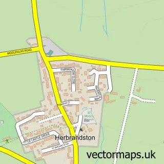
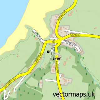
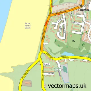
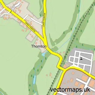
Nearby street map samples around Dale

More street maps in Dyfed
750 metre map area coverage
Boundary, postcode and point of interest information for the 750m x 750m rectangle centred on this sample map.
Boundaries containing map centre
Constituency: Mid and South Pembrokeshire Co Const
District: Sir Benfro - Pembrokeshire
Icb: Hywel Dda
Parish: Dale Community
Police Force: dyfed-powys
Postcode District: SA62
Postcode Sector: SA62 3
Nearby boundaries intersecting sample
No additional intersecting boundaries found.
Postcode coverage
POI category counts
Beach: 2
Cafe: 2
Fishing Charter: 2
Sports Club And League: 2
Active Life: 1
Bed And Breakfast: 1
Boat Rental And Training: 1
Eat And Drink: 1
Gas Station: 1
Gastropub: 1
Sample points of interest
- Windswept Watersports
- Dale Beach
- Dale Sea Front
- Allenbrook
- Celtic Sea Watersports
- The Boathouse Café & Shop
- The Boathouse Dale
- The Lilly-May
- Awesome Fishing
- Broadside Boat Charter
- Dale Sailing Co Lt
- Coco’s Brasserie
Create a larger editable map of Dale
This sample shows only a 750 metre area. To create a larger map of Dale, use our map builder to choose your own coverage area, add titles and download editable SVG, PDF and PNG files.
Create a custom map of Dale