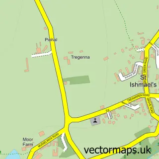
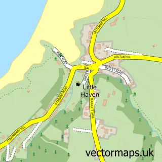
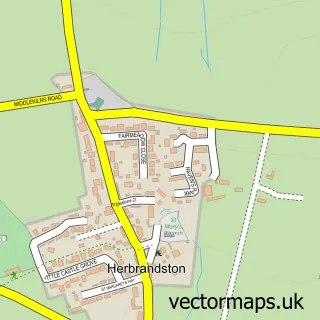
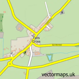
This Marloes street map is a detailed vector street map covering a 750m x 750m area. Select a larger area to create and download your own vector street map of Marloes.
The 750-metre map sample for Marloes covers 142 mapped buildings and approximately 13.7 km of road detail, of which 7 named roads are named. The immediate area includes 1 pub. The wider area around Marloes features 1 tourism point of interest, 2 food and drink venues and 1 campsite within 2 miles. To create a larger or custom map of Marloes, the map builder lets you define your own coverage area and download editable SVG, PDF and PNG files.
Create a larger editable map of Marloes
Choose any area you need and generate a high-quality vector map instantly. Perfect for print, planning, design, business and personal use.

This Marloes street map in Dyfed is available as downloadable SVG, PDF and PNG map files, or as a printed map for planning, business, display, education, local information and design work. You can also create a larger custom map area using the map selector.
What this Marloes map sample shows
Marloes lies within Marloes And St. Brides Community parish, part of St. Ishmael's ward in the Sir Benfro - Pembrokeshire local authority area. The postcode geography for this area includes the SA postcode area, the SA62 postcode district and the SA62 3 postcode sector. Residents fall under the Hywel Dda University Health Board for NHS services.
Local features near Marloes
Within 2 milesAmenities and services in and around Marloes.
Administrative and postcode information for Marloes
Marloes lies within Marloes And St. Brides Community parish, part of St. Ishmael's ward in the Sir Benfro - Pembrokeshire local authority area. The postcode geography for this area includes the SA postcode area, the SA62 postcode district and the SA62 3 postcode sector. Residents fall under the Hywel Dda University Health Board for NHS services.
Nearby street map samples around Marloes

More street maps in Dyfed
750 metre map area coverage
Boundary, postcode and point of interest information for the 750m x 750m rectangle centred on this sample map.
Boundaries containing map centre
Constituency: Mid and South Pembrokeshire Co Const
District: Sir Benfro - Pembrokeshire
Icb: Hywel Dda
Parish: Marloes and St. Brides Community
Police Force: dyfed-powys
Postcode District: SA62
Postcode Sector: SA62 3
Nearby boundaries intersecting sample
No additional intersecting boundaries found.
Postcode coverage
POI category counts
Beach: 3
Accommodation: 1
Bed And Breakfast: 1
Cafe: 1
Cottage: 1
Park: 1
Pizza Restaurant: 1
Post Office: 1
Pub: 1
Shipping Center: 1
Sample points of interest
- Foxdale Guesthouse and Campsite
- Albion Sands
- Marloes Sands
- Musselwick Sands
- Foxdale Guest House
- The Clock House Cafe Marloes
- Glebe Cottage, Marloes
- Deer Park, Pembrokeshire National Park
- Camille's Pizza & Pasta
- Marloes Post Office
- The Lobster Pot Inn
- Marloes Post Office
Create a larger editable map of Marloes
This sample shows only a 750 metre area. To create a larger map of Marloes, use our map builder to choose your own coverage area, add titles and download editable SVG, PDF and PNG files.
Create a custom map of Marloes