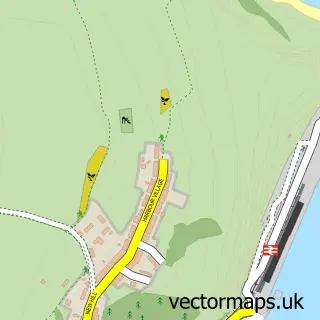
This Dinas Cross street map is a detailed vector street map covering a 750m x 750m area. Select a larger area to create and download your own vector street map of Dinas Cross.
The 750-metre map sample for Dinas Cross covers 133 mapped buildings and approximately 5.4 km of road detail, of which 6 named roads are named. The immediate area includes 2 pubs and 1 MOT station within 2 miles. The wider area around Dinas Cross features 1 tourism point of interest, 2 food and drink venues and 2 campsites within 2 miles. To create a larger or custom map of Dinas Cross, the map builder lets you define your own coverage area and download editable SVG, PDF and PNG files.
Create a larger editable map of Dinas Cross
Choose any area you need and generate a high-quality vector map instantly. Perfect for print, planning, design, business and personal use.

This Dinas Cross street map in Dyfed is available as downloadable SVG, PDF and PNG map files, or as a printed map for planning, business, display, education, local information and design work. You can also create a larger custom map area using the map selector.
What this Dinas Cross map sample shows
Dinas Cross lies within Dinas Cross Community parish, part of Dinas Cross ward in the Sir Benfro - Pembrokeshire local authority area. The postcode geography for this area includes the SA postcode area, the SA42 postcode district and the SA42 0 postcode sector. Residents fall under the Hywel Dda University Health Board for NHS services.
Local features near Dinas Cross
Within 2 milesAmenities and services in and around Dinas Cross.
Administrative and postcode information for Dinas Cross
The local authority covering Dinas Cross is Sir Benfro - Pembrokeshire, within the county of Dyfed. The settlement lies within Dinas Cross ward and Dinas Cross Community civil parish. The SA42 postcode district and SA42 0 postcode sector serve the immediate area. NHS provision in the area is delivered through Hywel Dda University Health Board.
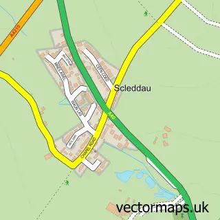
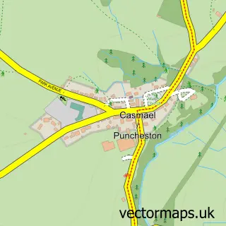
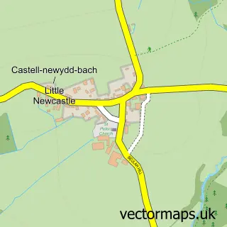
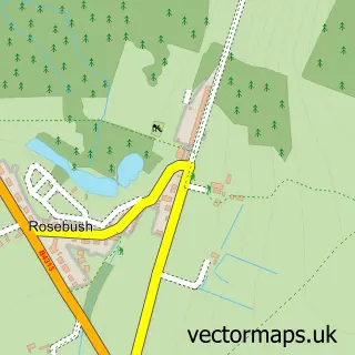
Nearby street map samples around Dinas Cross

More street maps in Dyfed
750 metre map area coverage
Boundary, postcode and point of interest information for the 750m x 750m rectangle centred on this sample map.
Boundaries containing map centre
Constituency: Ceredigion Preseli Co Const
District: Sir Benfro - Pembrokeshire
Icb: Hywel Dda
Parish: Dinas Cross Community
Police Force: dyfed-powys
Postcode District: SA42
Postcode Sector: SA42 0
Nearby boundaries intersecting sample
No additional intersecting boundaries found.
Postcode coverage
POI category counts
Pub: 2
Arts And Crafts: 1
Automotive Repair: 1
Beach: 1
Campground: 1
Commercial Industrial: 1
Convenience Store: 1
Dog Walkers: 1
Fish And Chips Restaurant: 1
Grocery Store: 1
Sample points of interest
- Coast and Wild
- Mercury Garage
- Pwllgwaelod Beach, Pembrokshire
- Dinas Cross Dinas Country Club
- James Eifion Thomas Blacksmith
- Londis
- North Pembrokeshire Dog walking & Pet sitting
- Mor Ffres Fish & Chips
- Costcutter
- Spraytex Systems
- Freemasons Arms
- The Ship Aground
Create a larger editable map of Dinas Cross
This sample shows only a 750 metre area. To create a larger map of Dinas Cross, use our map builder to choose your own coverage area, add titles and download editable SVG, PDF and PNG files.
Create a custom map of Dinas Cross