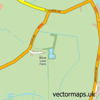
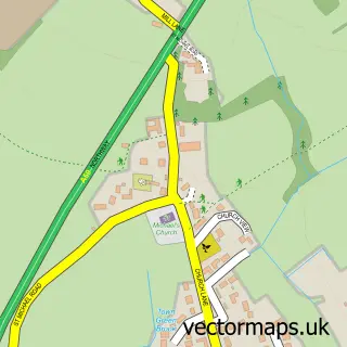
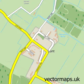
This Downholland Cross street map is a detailed vector street map covering a 750m x 750m area. Select a larger area to create and download your own vector street map of Downholland Cross.
The 750-metre map sample for Downholland Cross covers 46 mapped buildings and approximately 8.3 km of road detail, of which 5 named roads are named. The immediate area includes 2 pubs and 1 MOT station within 2 miles. The wider area around Downholland Cross features 4 food and drink venues and 1 hotel. To create a larger or custom map of Downholland Cross, the map builder lets you define your own coverage area and download editable SVG, PDF and PNG files.
Create a larger editable map of Downholland Cross
Choose any area you need and generate a high-quality vector map instantly. Perfect for print, planning, design, business and personal use.

This Downholland Cross street map in Lancashire is available as downloadable SVG, PDF and PNG map files, or as a printed map for planning, business, display, education, local information and design work. You can also create a larger custom map area using the map selector.
What this Downholland Cross map sample shows
Downholland Cross lies within Downholland Cp parish, part of Aughton And Downholland ward in the West Lancashire District (B) local authority area. The postcode geography for this area includes the L postcode area, the L39 postcode district and the L39 7 postcode sector. Residents fall under the Nhs Lancashire And South Cumbria Integrated Care Board for NHS services.
Local features near Downholland Cross
Within 2 milesAmenities and services in and around Downholland Cross.
Administrative and postcode information for Downholland Cross
The local authority covering Downholland Cross is West Lancashire District (B), within the county of Lancashire. The settlement lies within Aughton And Downholland ward and Downholland Cp civil parish. The L39 postcode district and L39 7 postcode sector serve the immediate area. NHS provision in the area is delivered through Southport And Ormskirk Hospital Nhs Trust.
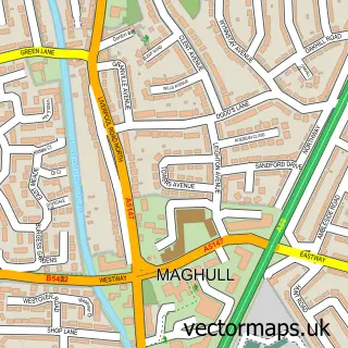
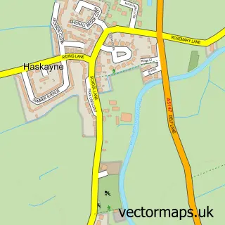
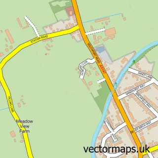
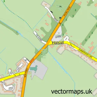
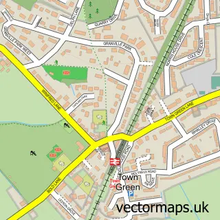
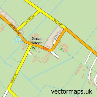
Nearby street map samples around Downholland Cross

More street maps in Lancashire
750 metre map area coverage
Boundary, postcode and point of interest information for the 750m x 750m rectangle centred on this sample map.
Boundaries containing map centre
Constituency: West Lancashire Co Const
County: Lancashire County
District: West Lancashire District (B)
Icb: NHS Lancashire and South Cumbria ICB
Parish: Downholland CP
Police Force: lancashire
Postcode District: L39
Postcode Sector: L39 7
Ward: Rural West Ward
Nearby boundaries intersecting sample
No additional intersecting boundaries found.
Postcode coverage
POI category counts
Pet Store: 2
Pub: 2
Bar And Grill Restaurant: 1
Bedding And Bath Stores: 1
Cafe: 1
Hotel: 1
Nursery And Gardening: 1
Restaurant: 1
Sample points of interest
- The Gastro
- The Bed Shop
- Canal-Side Cafe
- Cross Farm Holiday Cottages
- Lloyds Nurseries
- Canal-side Country Store & Cafe
- Premium Country Store
- Scarsbrick Arms Pub, Hallsal
- The New Scarisbrick Restaurant
- The Feed Bucket Cafe
Create a larger editable map of Downholland Cross
This sample shows only a 750 metre area. To create a larger map of Downholland Cross, use our map builder to choose your own coverage area, add titles and download editable SVG, PDF and PNG files.
Create a custom map of Downholland Cross