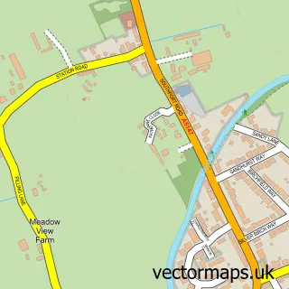
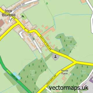
This Haskayne street map is a detailed vector street map covering a 750m x 750m area. Select a larger area to create and download your own vector street map of Haskayne.
The 750-metre map sample for Haskayne covers 172 mapped buildings and approximately 13.8 km of road detail, of which 13 named roads are named. The immediate area includes 1 MOT station within 2 miles. The wider area around Haskayne features 2 tourism points of interest. To create a larger or custom map of Haskayne, the map builder lets you define your own coverage area and download editable SVG, PDF and PNG files.
Create a larger editable map of Haskayne
Choose any area you need and generate a high-quality vector map instantly. Perfect for print, planning, design, business and personal use.

This Haskayne street map in Lancashire is available as downloadable SVG, PDF and PNG map files, or as a printed map for planning, business, display, education, local information and design work. You can also create a larger custom map area using the map selector.
What this Haskayne map sample shows
Haskayne lies within Downholland Cp parish, part of Aughton And Downholland ward in the West Lancashire District (B) local authority area. The postcode geography for this area includes the L postcode area, the L39 postcode district and the L39 7 postcode sector. Residents fall under the Nhs Lancashire And South Cumbria Integrated Care Board for NHS services.
Local features near Haskayne
Within 2 milesAmenities and services in and around Haskayne.
Administrative and postcode information for Haskayne
The local authority covering Haskayne is West Lancashire District (B), within the county of Lancashire. The settlement lies within Aughton And Downholland ward and Downholland Cp civil parish. The L39 postcode district and L39 7 postcode sector serve the immediate area. NHS provision in the area is delivered through Southport And Ormskirk Hospital Nhs Trust.
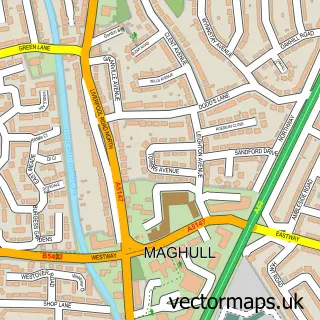
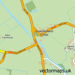
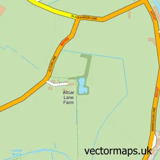
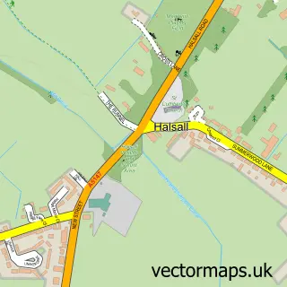
Nearby street map samples around Haskayne

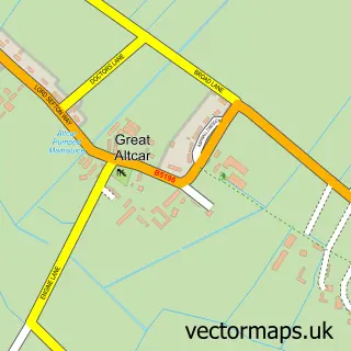
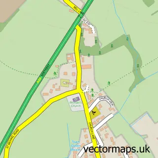
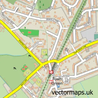
More street maps in Lancashire
750 metre map area coverage
Boundary, postcode and point of interest information for the 750m x 750m rectangle centred on this sample map.
Boundaries containing map centre
Constituency: West Lancashire Co Const
County: Lancashire County
District: West Lancashire District (B)
Icb: NHS Lancashire and South Cumbria ICB
Parish: Downholland CP
Police Force: lancashire
Postcode District: L39
Postcode Sector: L39 7
Ward: Rural West Ward
Nearby boundaries intersecting sample
No additional intersecting boundaries found.
Postcode coverage
POI category counts
Bar: 1
Boat Tours: 1
Building Contractor: 1
Charity Organization: 1
Cinema: 1
Community Center: 1
Computer Store: 1
Convenience Store: 1
Farm: 1
Hobby Shop: 1
Sample points of interest
- The Rubber Boot
- Blue Swan Canal Cruises
- Tedham Construction Ltd.
- Haskayne Village Hall
- Haskayne Engineering Cargo Securing Equipment
- Haskayne Village Hall
- Laptopbitz Limited
- Haskayne News & General Stores
- Pumpkin Alley
- K & R Cunliffe
- GSH Computers
- A5147 road
Create a larger editable map of Haskayne
This sample shows only a 750 metre area. To create a larger map of Haskayne, use our map builder to choose your own coverage area, add titles and download editable SVG, PDF and PNG files.
Create a custom map of Haskayne