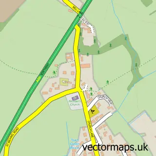
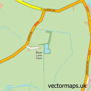
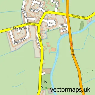
This Town Green street map is a detailed vector street map covering a 750m x 750m area. Select a larger area to create and download your own vector street map of Town Green.
The 750-metre map sample for Town Green covers 354 mapped buildings and approximately 15.1 km of road detail, of which 27 named roads are named. The immediate area includes 1 railway station, 1 GP surgery, with 4 within 2 miles and 4 MOT stations within 2 miles. The wider area around Town Green features 2 tourism points of interest and 3 food and drink venues. To create a larger or custom map of Town Green, the map builder lets you define your own coverage area and download editable SVG, PDF and PNG files.
Create a larger editable map of Town Green
Choose any area you need and generate a high-quality vector map instantly. Perfect for print, planning, design, business and personal use.

This Town Green street map in Lancashire is available as downloadable SVG, PDF and PNG map files, or as a printed map for planning, business, display, education, local information and design work. You can also create a larger custom map area using the map selector.
What this Town Green map sample shows
Town Green lies within Aughton Cp parish, part of Aughton And Downholland ward in the West Lancashire District (B) local authority area. The postcode geography for this area includes the L postcode area, the L39 postcode district and the L39 6 postcode sector. Residents fall under the Nhs Lancashire And South Cumbria Integrated Care Board for NHS services.
Local features near Town Green
Within 2 milesAmenities and services in and around Town Green.
Administrative and postcode information for Town Green
Town Green lies within Aughton Cp parish, part of Aughton And Downholland ward in the West Lancashire District (B) local authority area. The postcode geography for this area includes the L postcode area, the L39 postcode district and the L39 6 postcode sector. Residents fall under the Nhs Lancashire And South Cumbria Integrated Care Board for NHS services.
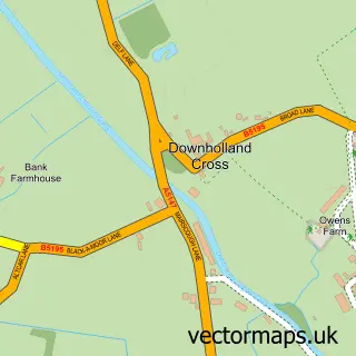
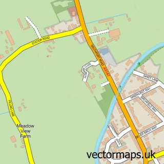
Nearby street map samples around Town Green

More street maps in Lancashire
750 metre map area coverage
Boundary, postcode and point of interest information for the 750m x 750m rectangle centred on this sample map.
Boundaries containing map centre
Constituency: West Lancashire Co Const
County: Lancashire County
District: West Lancashire District (B)
Icb: NHS Lancashire and South Cumbria ICB
Parish: Aughton CP
Police Force: lancashire
Postcode District: L39
Postcode Sector: L39 5
Ward: Aughton & Holborn Ward
Nearby boundaries intersecting sample
Postcode Sector: L39 6
Ward: Rural South Ward
Postcode coverage
POI category counts
Convenience Store: 3
Butcher Shop: 2
Doctor: 2
Package Locker: 2
Park: 2
Accommodation: 1
Cafe: 1
Caterer: 1
Child Care And Day Care: 1
Coffee Shop: 1
Sample points of interest
- Aughton, Town Green, Liverpool, England
- JW Henshaw
- S Huyton & Son
- Daily Dose Coffee
- Yummy Catering
- Potico Kindergarten
- Costa Express
- Aughton Village Hall
- Aughton WI
- SPAR
- SPAR Aughton
- SPAR York
Create a larger editable map of Town Green
This sample shows only a 750 metre area. To create a larger map of Town Green, use our map builder to choose your own coverage area, add titles and download editable SVG, PDF and PNG files.
Create a custom map of Town Green