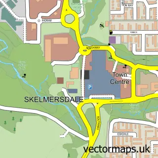
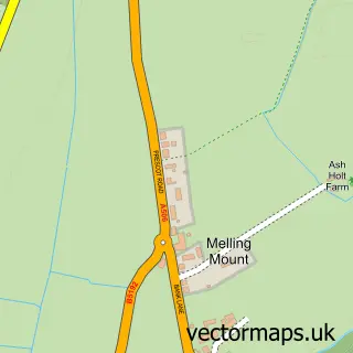
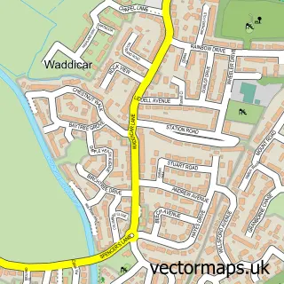
This Bickerstaffe street map is a detailed vector street map covering a 750m x 750m area. Select a larger area to create and download your own vector street map of Bickerstaffe.
The 750-metre map sample for Bickerstaffe covers 41 mapped buildings and approximately 11.8 km of road detail, of which 3 named roads are named. The immediate area includes 1 school, 2 GP surgeries within 2 miles and 4 MOT stations within 2 miles. The wider area around Bickerstaffe features 1 tourism point of interest. To create a larger or custom map of Bickerstaffe, the map builder lets you define your own coverage area and download editable SVG, PDF and PNG files.
Create a larger editable map of Bickerstaffe
Choose any area you need and generate a high-quality vector map instantly. Perfect for print, planning, design, business and personal use.

This Bickerstaffe street map in Lancashire is available as downloadable SVG, PDF and PNG map files, or as a printed map for planning, business, display, education, local information and design work. You can also create a larger custom map area using the map selector.
What this Bickerstaffe map sample shows
Bickerstaffe lies within Bickerstaffe Cp parish, part of Bickerstaffe ward in the West Lancashire District (B) local authority area. The postcode geography for this area includes the L postcode area, the L39 postcode district and the L39 0 postcode sector. Residents fall under the Nhs Lancashire And South Cumbria Integrated Care Board for NHS services.
Local features near Bickerstaffe
Within 2 milesAmenities and services in and around Bickerstaffe.
Administrative and postcode information for Bickerstaffe
The local authority covering Bickerstaffe is West Lancashire District (B), within the county of Lancashire. The settlement lies within Bickerstaffe ward and Bickerstaffe Cp civil parish. The L39 postcode district and L39 0 postcode sector serve the immediate area. NHS provision in the area is delivered through Southport And Ormskirk Hospital Nhs Trust.
Nearby street map samples around Bickerstaffe

More street maps in Lancashire
750 metre map area coverage
Boundary, postcode and point of interest information for the 750m x 750m rectangle centred on this sample map.
Boundaries containing map centre
Constituency: West Lancashire Co Const
County: Lancashire County
District: West Lancashire District (B)
Icb: NHS Lancashire and South Cumbria ICB
Parish: Bickerstaffe CP
Police Force: lancashire
Postcode District: L39
Postcode Sector: L39 0
Ward: Rural South Ward
Nearby boundaries intersecting sample
No additional intersecting boundaries found.
Postcode coverage
POI category counts
Child Care And Day Care: 2
Elementary School: 2
Anglican Church: 1
Building Supply Store: 1
Church Cathedral: 1
Gym: 1
Park: 1
Sample points of interest
- Holy Trinity, Bickerstaffe
- Carpet Cleaning Bickerstaffe L39
- Bickerstaffe Children's Services
- Small Wonders
- Holy Trinity Bickerstaffe
- Bickerstaffe C of E School
- Bickerstaffe CE Primary and Nursery School
- Bickerstaffe AFC Hall Lane Bickerstaffe
- Bickerstaffe Parish Field
Create a larger editable map of Bickerstaffe
This sample shows only a 750 metre area. To create a larger map of Bickerstaffe, use our map builder to choose your own coverage area, add titles and download editable SVG, PDF and PNG files.
Create a custom map of Bickerstaffe