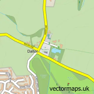
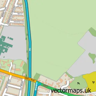
This Skelmersdale street map is a detailed vector street map covering a 750m x 750m area. Select a larger area to create and download your own vector street map of Skelmersdale.
The 750-metre map sample for Skelmersdale covers 129 mapped buildings and approximately 13.1 km of road detail, of which 9 named roads are named. The immediate area includes 6 GP surgeries within 2 miles, 2 pubs and 9 MOT stations within 2 miles. The wider area around Skelmersdale features 3 tourism points of interest and 5 food and drink venues. To create a larger or custom map of Skelmersdale, the map builder lets you define your own coverage area and download editable SVG, PDF and PNG files.
Create a larger editable map of Skelmersdale
Choose any area you need and generate a high-quality vector map instantly. Perfect for print, planning, design, business and personal use.

This Skelmersdale street map in Lancashire is available as downloadable SVG, PDF and PNG map files, or as a printed map for planning, business, display, education, local information and design work. You can also create a larger custom map area using the map selector.
What this Skelmersdale map sample shows
Skelmersdale lies within Lancashire County parish, part of Skelmersdale North ward in the West Lancashire District (B) local authority area. The postcode geography for this area includes the WN postcode area, the WN8 postcode district and the WN8 8 postcode sector. Residents fall under the Nhs Lancashire And South Cumbria Integrated Care Board for NHS services.
Local features near Skelmersdale
Within 2 milesAmenities and services in and around Skelmersdale.
Administrative and postcode information for Skelmersdale
The local authority covering Skelmersdale is West Lancashire District (B), within the county of Lancashire. The settlement lies within Skelmersdale North ward and Lancashire County civil parish. The WN8 postcode district and WN8 8 postcode sector serve the immediate area. NHS provision in the area is delivered through Southport And Ormskirk Hospital Nhs Trust.
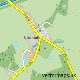
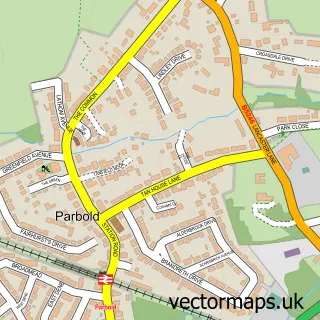
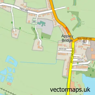
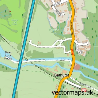
Nearby street map samples around Skelmersdale

More street maps in Lancashire
750 metre map area coverage
Boundary, postcode and point of interest information for the 750m x 750m rectangle centred on this sample map.
Boundaries containing map centre
Constituency: West Lancashire Co Const
County: Lancashire County
District: West Lancashire District (B)
Icb: NHS Lancashire and South Cumbria ICB
Police Force: lancashire
Postcode District: WN8
Postcode Sector: WN8 6
Ward: Tanhouse & Skelmersdale Town Centre Ward
Nearby boundaries intersecting sample
Ward: Skelmersdale South Ward
Postcode coverage
POI category counts
Gym: 7
Supermarket: 6
Community Services Non Profits: 5
Discount Store: 5
Fast Food Restaurant: 4
Grocery Store: 4
Hair Salon: 4
Mobile Phone Store: 4
Youth Organizations: 4
Banks: 3
Sample points of interest
- Leisuretime Skelmersdale
- Romasa JiuJitsu Skem
- WonderWorld Skelmersdale
- British Heart Foundation Furniture & Electrical
- Birchgreen Care Home
- Asda Skelmersdale 1, Off Northway
- Cash machine The Concourse
- Lancashire Community Finance
- InstaVolt Charging Station
- Greggs
- Poundbakery
- Barclays Bank - Skelmersdale Concourse
Create a larger editable map of Skelmersdale
This sample shows only a 750 metre area. To create a larger map of Skelmersdale, use our map builder to choose your own coverage area, add titles and download editable SVG, PDF and PNG files.
Create a custom map of Skelmersdale