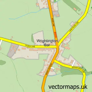
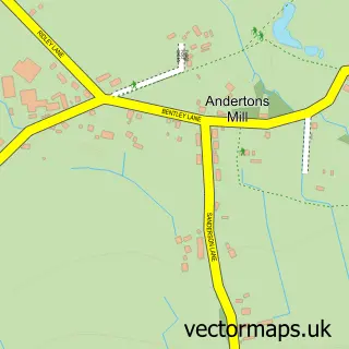
This Appley Bridge street map is a detailed vector street map covering a 750m x 750m area. Select a larger area to create and download your own vector street map of Appley Bridge.
The 750-metre map sample for Appley Bridge covers 134 mapped buildings and approximately 5.3 km of road detail, of which 7 named roads are named. The immediate area includes 1 school, 1 GP surgery within 2 miles and 1 MOT station, with 4 within 2 miles. To create a larger or custom map of Appley Bridge, the map builder lets you define your own coverage area and download editable SVG, PDF and PNG files.
Create a larger editable map of Appley Bridge
Choose any area you need and generate a high-quality vector map instantly. Perfect for print, planning, design, business and personal use.

This Appley Bridge street map in Lancashire is available as downloadable SVG, PDF and PNG map files, or as a printed map for planning, business, display, education, local information and design work. You can also create a larger custom map area using the map selector.
What this Appley Bridge map sample shows
Appley Bridge lies within Wrightington Cp parish, part of Wrightington ward in the West Lancashire District (B) local authority area. The postcode geography for this area includes the WN postcode area, the WN6 postcode district and the WN6 9 postcode sector. Residents fall under the Nhs Lancashire And South Cumbria Integrated Care Board for NHS services.
Local features near Appley Bridge
Within 2 milesAmenities and services in and around Appley Bridge.
Administrative and postcode information for Appley Bridge
The local authority covering Appley Bridge is West Lancashire District (B), within the county of Lancashire. The settlement lies within Wrightington ward and Wrightington Cp civil parish. The WN6 postcode district and WN6 9 postcode sector serve the immediate area. NHS provision in the area is delivered through Wrightington, Wigan And Leigh Nhs Foundation Trust.
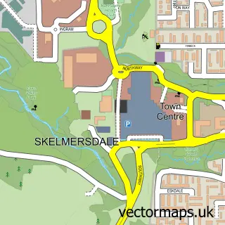
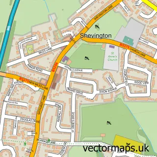
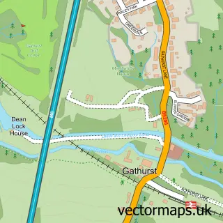
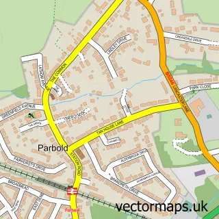
Nearby street map samples around Appley Bridge

More street maps in Lancashire
750 metre map area coverage
Boundary, postcode and point of interest information for the 750m x 750m rectangle centred on this sample map.
Boundaries containing map centre
Constituency: West Lancashire Co Const
County: Lancashire County
District: West Lancashire District (B)
Icb: NHS Lancashire and South Cumbria ICB
Parish: Wrightington CP
Police Force: lancashire
Postcode District: WN6
Postcode Sector: WN6 9
Ward: Rural North East Ward
Nearby boundaries intersecting sample
No additional intersecting boundaries found.
Postcode coverage
POI category counts
Elementary School: 2
Gardener: 2
Automotive: 1
Automotive Repair: 1
Church Cathedral: 1
Dance Wear: 1
Engineering Services: 1
Glass And Mirror Sales Service: 1
Home Service: 1
Importer And Exporter: 1
Sample points of interest
- Absolute Vehicle Solutions Ltd.
- J W Gaskell Garages
- All Saints Church
- Susan Kielb School Of Dance
- Appley Bridge All Saints Church of England Primary School
- Appley Bridge All Saints Church of England Primary School
- Air Compressors & Equipment Ltd
- The Potting Sheds
- W E Bevan
- Appley Aluminium
- Little Acorns
- Portfolio 2008
Create a larger editable map of Appley Bridge
This sample shows only a 750 metre area. To create a larger map of Appley Bridge, use our map builder to choose your own coverage area, add titles and download editable SVG, PDF and PNG files.
Create a custom map of Appley Bridge