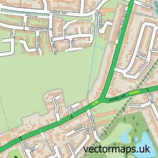
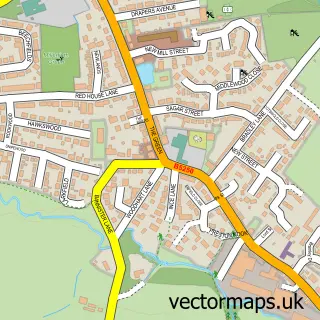
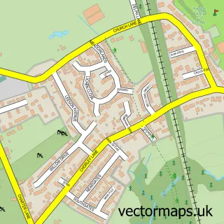
This Andertons Mill street map is a detailed vector street map covering a 750m x 750m area. Select a larger area to create and download your own vector street map of Andertons Mill.
The 750-metre map sample for Andertons Mill covers 100 mapped buildings and approximately 5.7 km of road detail, of which 3 named roads are named. The immediate area includes 5 MOT stations within 2 miles. To create a larger or custom map of Andertons Mill, the map builder lets you define your own coverage area and download editable SVG, PDF and PNG files.
Create a larger editable map of Andertons Mill
Choose any area you need and generate a high-quality vector map instantly. Perfect for print, planning, design, business and personal use.

This Andertons Mill street map in Lancashire is available as downloadable SVG, PDF and PNG map files, or as a printed map for planning, business, display, education, local information and design work. You can also create a larger custom map area using the map selector.
What this Andertons Mill map sample shows
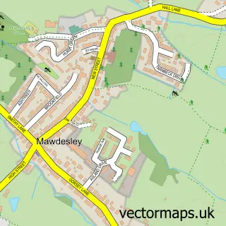
Andertons Mill lies within Mawdesley Cp parish, part of Eccleston And Mawdesley ward in the Chorley District (B) local authority area. The postcode geography for this area includes the L postcode area, the L40 postcode district and the L40 2 postcode sector. Residents fall under the Nhs Lancashire And South Cumbria Integrated Care Board for NHS services.
Local features near Andertons Mill
Within 2 milesAmenities and services in and around Andertons Mill.
Administrative and postcode information for Andertons Mill
Andertons Mill lies within Mawdesley Cp parish, part of Eccleston And Mawdesley ward in the Chorley District (B) local authority area. The postcode geography for this area includes the L postcode area, the L40 postcode district and the L40 2 postcode sector. Residents fall under the Nhs Lancashire And South Cumbria Integrated Care Board for NHS services.
Nearby street map samples around Andertons Mill

More street maps in Lancashire
750 metre map area coverage
Boundary, postcode and point of interest information for the 750m x 750m rectangle centred on this sample map.
Boundaries containing map centre
Constituency: West Lancashire Co Const
County: Lancashire County
District: West Lancashire District (B)
Icb: NHS Lancashire and South Cumbria ICB
Parish: Hilldale CP
Police Force: lancashire
Postcode District: L40
Postcode Sector: L40 3
Ward: Rural North East Ward
Nearby boundaries intersecting sample
Constituency: South Ribble Co Const
District: Chorley District (B)
Parish: Heskin CP, Mawdesley CP
Postcode District: PR7
Postcode Sector: PR7 5
Ward: Croston, Mawdesley & Euxton South Ward, Eccleston, Heskin & Charnock Richard Ward
Postcode coverage
POI category counts
Dairy Farm: 1
Fishing Club: 1
Funeral Services And Cemeteries: 1
Tutoring Center: 1
Sample points of interest
- Rowlands Dairy
- Lakeside Coarse Fishery
- Peace Funeral Directors
- Red Admiral Music Academy
Create a larger editable map of Andertons Mill
This sample shows only a 750 metre area. To create a larger map of Andertons Mill, use our map builder to choose your own coverage area, add titles and download editable SVG, PDF and PNG files.
Create a custom map of Andertons Mill