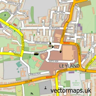
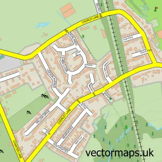
This Eccleston street map is a detailed vector street map covering a 750m x 750m area. Select a larger area to create and download your own vector street map of Eccleston.
The 750-metre map sample for Eccleston covers 517 mapped buildings and approximately 14.7 km of road detail, of which 28 named roads are named. The immediate area includes 2 schools, 1 pub and 1 MOT station, with 4 within 2 miles. The wider area around Eccleston features 1 tourism point of interest, 5 food and drink venues and 1 campsite within 2 miles. To create a larger or custom map of Eccleston, the map builder lets you define your own coverage area and download editable SVG, PDF and PNG files.
Create a larger editable map of Eccleston
Choose any area you need and generate a high-quality vector map instantly. Perfect for print, planning, design, business and personal use.

This Eccleston street map in Lancashire is available as downloadable SVG, PDF and PNG map files, or as a printed map for planning, business, display, education, local information and design work. You can also create a larger custom map area using the map selector.
What this Eccleston map sample shows
Eccleston lies within Eccleston Cp parish, part of Eccleston And Mawdesley ward in the Chorley District (B) local authority area. The postcode geography for this area includes the PR postcode area, the PR7 postcode district and the PR7 5 postcode sector. Residents fall under the Nhs Lancashire And South Cumbria Integrated Care Board for NHS services.
Local features near Eccleston
Within 2 milesAmenities and services in and around Eccleston.
Administrative and postcode information for Eccleston
The local authority covering Eccleston is Chorley District (B), within the county of Lancashire. The settlement lies within Eccleston And Mawdesley ward and Eccleston Cp civil parish. The PR7 postcode district and PR7 5 postcode sector serve the immediate area. NHS provision in the area is delivered through Lancashire Teaching Hospitals Nhs Foundation Trust.
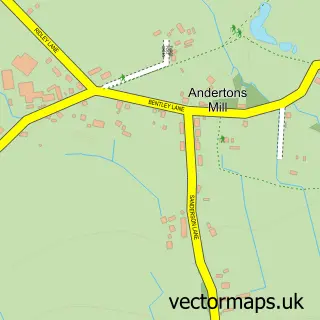
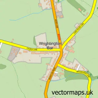
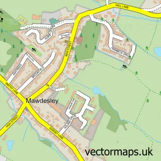
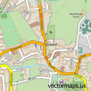
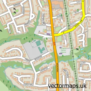
Nearby street map samples around Eccleston

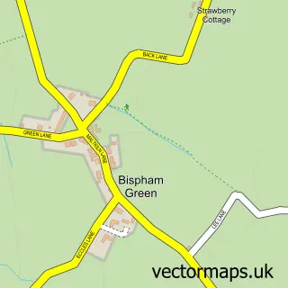
More street maps in Lancashire
750 metre map area coverage
Boundary, postcode and point of interest information for the 750m x 750m rectangle centred on this sample map.
Boundaries containing map centre
Constituency: South Ribble Co Const
County: Lancashire County
District: Chorley District (B)
Icb: NHS Lancashire and South Cumbria ICB
Parish: Eccleston CP
Police Force: lancashire
Postcode District: PR7
Postcode Sector: PR7 5
Ward: Eccleston, Heskin & Charnock Richard Ward
Nearby boundaries intersecting sample
Parish: Heskin CP
Postcode coverage
POI category counts
Antique Store: 5
Beauty Salon: 5
Hair Salon: 5
Flowers And Gifts Shop: 4
Bakery: 3
Contractor: 3
Grocery Store: 3
Automotive Repair: 2
Bar: 2
Business Management Services: 2
Sample points of interest
- Esselle Sports Management
- Bygone Times
- Bygone Times
- Charnock Richard Antiques
- In A Country Cottage
- Robelit antiques
- Eccleston Institute Club
- Eccleston
- Grove Mill Auctions
- Paintline Smart Repairs
- CA Valeting & detailing services
- Appley Bridge Diagnostic
Create a larger editable map of Eccleston
This sample shows only a 750 metre area. To create a larger map of Eccleston, use our map builder to choose your own coverage area, add titles and download editable SVG, PDF and PNG files.
Create a custom map of Eccleston