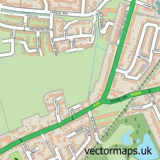
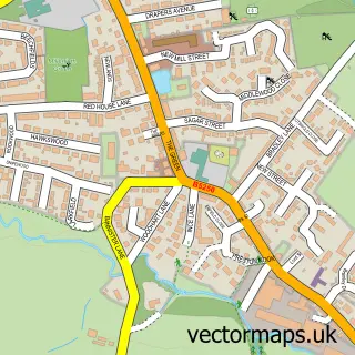
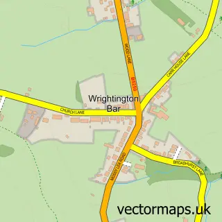
This Mawdesley street map is a detailed vector street map covering a 750m x 750m area. Select a larger area to create and download your own vector street map of Mawdesley.
The 750-metre map sample for Mawdesley covers 301 mapped buildings and approximately 10.3 km of road detail, of which 11 named roads are named. The immediate area includes 1 school, 2 pubs and 1 MOT station within 2 miles. The wider area around Mawdesley features 4 food and drink venues. To create a larger or custom map of Mawdesley, the map builder lets you define your own coverage area and download editable SVG, PDF and PNG files.
Create a larger editable map of Mawdesley
Choose any area you need and generate a high-quality vector map instantly. Perfect for print, planning, design, business and personal use.

This Mawdesley street map in Lancashire is available as downloadable SVG, PDF and PNG map files, or as a printed map for planning, business, display, education, local information and design work. You can also create a larger custom map area using the map selector.
What this Mawdesley map sample shows
Mawdesley lies within Mawdesley Cp parish, part of Eccleston And Mawdesley ward in the Chorley District (B) local authority area. The postcode geography for this area includes the L postcode area, the L40 postcode district and the L40 2 postcode sector. Residents fall under the Nhs Lancashire And South Cumbria Integrated Care Board for NHS services.
Local features near Mawdesley
Within 2 milesAmenities and services in and around Mawdesley.
Administrative and postcode information for Mawdesley
The local authority covering Mawdesley is Chorley District (B), within the county of Lancashire. The settlement lies within Eccleston And Mawdesley ward and Mawdesley Cp civil parish. The L40 postcode district and L40 2 postcode sector serve the immediate area. NHS provision in the area is delivered through Lancashire Teaching Hospitals Nhs Foundation Trust.
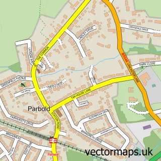
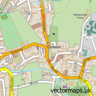
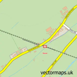
Nearby street map samples around Mawdesley

More street maps in Lancashire
750 metre map area coverage
Boundary, postcode and point of interest information for the 750m x 750m rectangle centred on this sample map.
Boundaries containing map centre
Constituency: South Ribble Co Const
County: Lancashire County
District: Chorley District (B)
Icb: NHS Lancashire and South Cumbria ICB
Parish: Mawdesley CP
Police Force: lancashire
Postcode District: L40
Postcode Sector: L40 2
Ward: Croston, Mawdesley & Euxton South Ward
Nearby boundaries intersecting sample
Postcode Sector: L40 3
Postcode coverage
POI category counts
Education: 3
Coffee Shop: 2
Convenience Store: 2
Furniture Store: 2
Home Service: 2
Martial Arts Club: 2
Professional Services: 2
Pub: 2
Scout Hall: 2
Active Life: 1
Sample points of interest
- Mawdesley Moss
- F & S Construction
- GB Business Solutions
- Smart Card Technologies
- Mawdesley Methodist Church
- The Mawdesley Pantry
- The New Mawdsley Pantry
- Mawdesley Village Hall
- R H Mawdsley Groundwork
- SPAR
- SPAR Mawdesley
- Post Office Travel Money
Create a larger editable map of Mawdesley
This sample shows only a 750 metre area. To create a larger map of Mawdesley, use our map builder to choose your own coverage area, add titles and download editable SVG, PDF and PNG files.
Create a custom map of Mawdesley