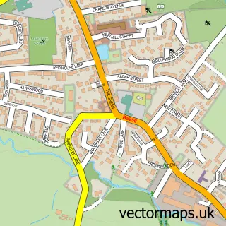
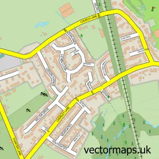
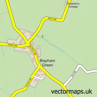
This Wrightington street map is a detailed vector street map covering a 750m x 750m area. Select a larger area to create and download your own vector street map of Wrightington.
The 750-metre map sample for Wrightington covers 131 mapped buildings and approximately 8.1 km of road detail, of which 6 named roads are named. The immediate area includes 1 GP surgery within 2 miles, 1 pub and 6 MOT stations within 2 miles. The wider area around Wrightington features 1 food and drink venue. To create a larger or custom map of Wrightington, the map builder lets you define your own coverage area and download editable SVG, PDF and PNG files.
Create a larger editable map of Wrightington
Choose any area you need and generate a high-quality vector map instantly. Perfect for print, planning, design, business and personal use.

This Wrightington street map in Lancashire is available as downloadable SVG, PDF and PNG map files, or as a printed map for planning, business, display, education, local information and design work. You can also create a larger custom map area using the map selector.
What this Wrightington map sample shows
Wrightington lies within Wrightington Cp parish, part of Wrightington ward in the West Lancashire District (B) local authority area. The postcode geography for this area includes the WN postcode area, the WN6 postcode district and the WN6 9 postcode sector. Residents fall under the Nhs Lancashire And South Cumbria Integrated Care Board for NHS services.
Local features near Wrightington
Within 2 milesAmenities and services in and around Wrightington.
Administrative and postcode information for Wrightington
Wrightington lies within Wrightington Cp parish, part of Wrightington ward in the West Lancashire District (B) local authority area. The postcode geography for this area includes the WN postcode area, the WN6 postcode district and the WN6 9 postcode sector. Residents fall under the Nhs Lancashire And South Cumbria Integrated Care Board for NHS services.
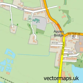
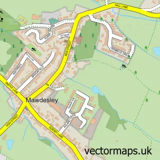
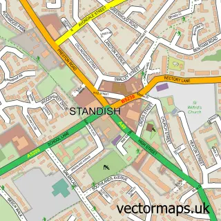
Nearby street map samples around Wrightington

More street maps in Lancashire
750 metre map area coverage
Boundary, postcode and point of interest information for the 750m x 750m rectangle centred on this sample map.
Boundaries containing map centre
Constituency: West Lancashire Co Const
County: Lancashire County
District: West Lancashire District (B)
Icb: NHS Lancashire and South Cumbria ICB
Parish: Wrightington CP
Police Force: lancashire
Postcode District: WN6
Postcode Sector: WN6 9
Ward: Rural North East Ward
Nearby boundaries intersecting sample
Constituency: South Ribble Co Const
District: Chorley District (B)
Parish: Heskin CP
Postcode District: PR7
Postcode Sector: PR7 5
Ward: Eccleston, Heskin & Charnock Richard Ward
Postcode coverage
POI category counts
Used Car Dealer: 2
Bar: 1
Professional Services: 1
Pub: 1
Social And Human Services: 1
Windows Installation: 1
Wine Bar: 1
Sample points of interest
- Wrightington Bar
- Marsden Crane Services
- The Cornerhouse
- Inspire Children's Services
- C M Vehicles Direct
- C M Vehicles Direct
- Wrightington Windows
- The Mulberry Tree
Create a larger editable map of Wrightington
This sample shows only a 750 metre area. To create a larger map of Wrightington, use our map builder to choose your own coverage area, add titles and download editable SVG, PDF and PNG files.
Create a custom map of Wrightington