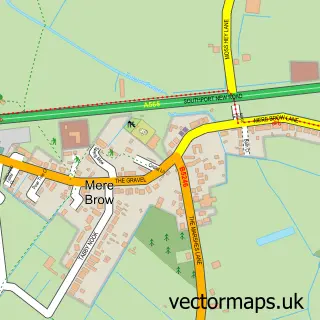
This Rufford street map is a detailed vector street map covering a 750m x 750m area. Select a larger area to create and download your own vector street map of Rufford.
The 750-metre map sample for Rufford covers 322 mapped buildings and approximately 10.8 km of road detail, of which 22 named roads are named. The immediate area includes 1 school, 1 pub and 2 MOT stations within 2 miles. The wider area around Rufford features 1 tourism point of interest and 1 food and drink venue. To create a larger or custom map of Rufford, the map builder lets you define your own coverage area and download editable SVG, PDF and PNG files.
Create a larger editable map of Rufford
Choose any area you need and generate a high-quality vector map instantly. Perfect for print, planning, design, business and personal use.

This Rufford street map in Lancashire is available as downloadable SVG, PDF and PNG map files, or as a printed map for planning, business, display, education, local information and design work. You can also create a larger custom map area using the map selector.
What this Rufford map sample shows
Rufford lies within Rufford Cp parish, part of Rufford ward in the West Lancashire District (B) local authority area. The postcode geography for this area includes the L postcode area, the L40 postcode district and the L40 1 postcode sector. Residents fall under the Nhs Lancashire And South Cumbria Integrated Care Board for NHS services.
Local features near Rufford
Within 2 milesAmenities and services in and around Rufford.
Administrative and postcode information for Rufford
Rufford lies within Rufford Cp parish, part of Rufford ward in the West Lancashire District (B) local authority area. The postcode geography for this area includes the L postcode area, the L40 postcode district and the L40 1 postcode sector. Residents fall under the Nhs Lancashire And South Cumbria Integrated Care Board for NHS services.
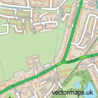
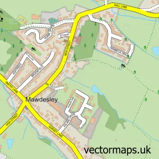
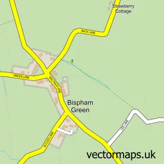
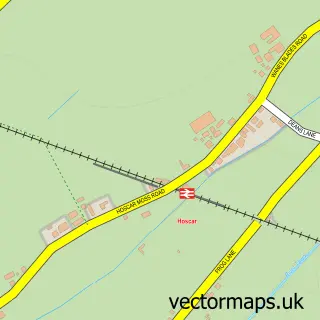
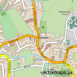
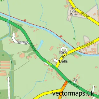
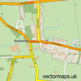
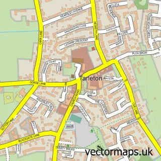
Nearby street map samples around Rufford

More street maps in Lancashire
750 metre map area coverage
Boundary, postcode and point of interest information for the 750m x 750m rectangle centred on this sample map.
Boundaries containing map centre
Constituency: Southport Co Const
County: Lancashire County
District: West Lancashire District (B)
Icb: NHS Lancashire and South Cumbria ICB
Parish: Rufford CP
Police Force: lancashire
Postcode District: L40
Postcode Sector: L40 1
Ward: Burscough Bridge & Rufford Ward
Nearby boundaries intersecting sample
No additional intersecting boundaries found.
Postcode coverage
POI category counts
Elementary School: 2
Hair Salon: 2
Professional Services: 2
Anglican Church: 1
Bakery: 1
Beverage Store: 1
Bridal Shop: 1
British Restaurant: 1
Canal: 1
Church Cathedral: 1
Sample points of interest
- St Mary the Virgin
- Rosebuds Farm Bakery
- Hip Pop
- Jean Ellis Designs
- The Boat House Brasserie
- Rufford Lock
- St Mary's Church
- Rufford C of E School
- Rufford Church of England Primary School
- A Kut Above
- Rufford Beauty Spot & Electrolysis Clinic
- Roseacre Gardens - Jones Homes (Lancashire) Ltd.
Create a larger editable map of Rufford
This sample shows only a 750 metre area. To create a larger map of Rufford, use our map builder to choose your own coverage area, add titles and download editable SVG, PDF and PNG files.
Create a custom map of Rufford