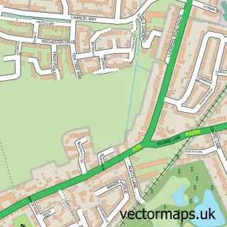
This Lathom street map is a detailed vector street map covering a 750m x 750m area. Select a larger area to create and download your own vector street map of Lathom.
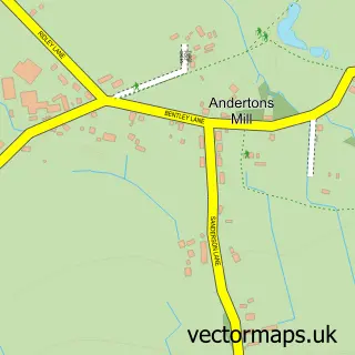
The 750-metre map sample for Lathom covers 117 mapped buildings and approximately 8.5 km of road detail, of which 9 named roads are named. The immediate area includes 3 GP surgeries within 2 miles and 5 MOT stations within 2 miles. The wider area around Lathom features 1 food and drink venue and 1 hotel. To create a larger or custom map of Lathom, the map builder lets you define your own coverage area and download editable SVG, PDF and PNG files.
Create a larger editable map of Lathom
Choose any area you need and generate a high-quality vector map instantly. Perfect for print, planning, design, business and personal use.

This Lathom street map in Lancashire is available as downloadable SVG, PDF and PNG map files, or as a printed map for planning, business, display, education, local information and design work. You can also create a larger custom map area using the map selector.
What this Lathom map sample shows
Lathom lies within Burscough Cp parish, part of Burscough West ward in the West Lancashire District (B) local authority area. The postcode geography for this area includes the L postcode area, the L40 postcode district and the L40 7 postcode sector. Residents fall under the Nhs Lancashire And South Cumbria Integrated Care Board for NHS services.
Local features near Lathom
Within 2 milesAmenities and services in and around Lathom.
Administrative and postcode information for Lathom
The local authority covering Lathom is West Lancashire District (B), within the county of Lancashire. The settlement lies within Burscough West ward and Burscough Cp civil parish. The L40 postcode district and L40 7 postcode sector serve the immediate area. NHS provision in the area is delivered through Southport And Ormskirk Hospital Nhs Trust.
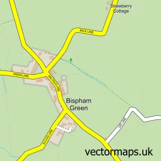
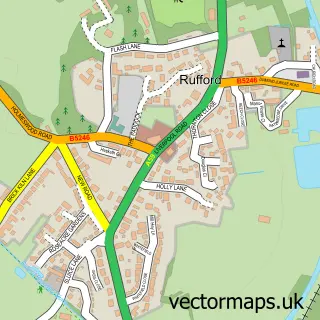
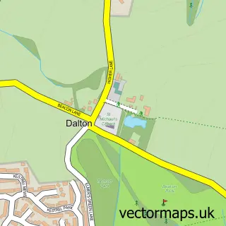
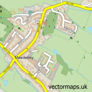
Nearby street map samples around Lathom

More street maps in Lancashire
750 metre map area coverage
Boundary, postcode and point of interest information for the 750m x 750m rectangle centred on this sample map.
Boundaries containing map centre
Constituency: West Lancashire Co Const
County: Lancashire County
District: West Lancashire District (B)
Icb: NHS Lancashire and South Cumbria ICB
Parish: Lathom CP
Police Force: lancashire
Postcode District: L40
Postcode Sector: L40 5
Ward: Burscough Bridge & Rufford Ward
Nearby boundaries intersecting sample
Parish: Burscough CP
Postcode Sector: L40 4
Ward: Burscough Town Ward
Postcode coverage
POI category counts
Automotive Repair: 2
Gas Station: 2
Nursery And Gardening: 2
Shipping Center: 2
Automotive Services And Repair: 1
Beauty Salon: 1
Beer Bar: 1
Boat Rental And Training: 1
Building Contractor: 1
Building Supply Store: 1
Sample points of interest
- Pipe Werx Cars
- Pipe Werx cars ltd
- Smiths Garages
- The Beauty Barn
- Ring O'Bells
- Lancashire Canal Cruises
- S Fletcher Design & Build
- S Fletcher Design & Build
- Wild Bean Café
- SPAR Lathom
- Brairs Petrol Station
- Shell
Create a larger editable map of Lathom
This sample shows only a 750 metre area. To create a larger map of Lathom, use our map builder to choose your own coverage area, add titles and download editable SVG, PDF and PNG files.
Create a custom map of Lathom