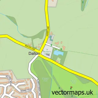
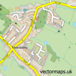
This Parbold street map is a detailed vector street map covering a 750m x 750m area. Select a larger area to create and download your own vector street map of Parbold.
The 750-metre map sample for Parbold covers 441 mapped buildings and approximately 13.9 km of road detail, of which 27 named roads are named. The immediate area includes 2 schools, 1 railway station, 1 GP surgery and 1 pub. The wider area around Parbold features 1 food and drink venue and 2 hotels. To create a larger or custom map of Parbold, the map builder lets you define your own coverage area and download editable SVG, PDF and PNG files.
Create a larger editable map of Parbold
Choose any area you need and generate a high-quality vector map instantly. Perfect for print, planning, design, business and personal use.

This Parbold street map in Lancashire is available as downloadable SVG, PDF and PNG map files, or as a printed map for planning, business, display, education, local information and design work. You can also create a larger custom map area using the map selector.
What this Parbold map sample shows
Parbold lies within Parbold Cp parish, part of Parbold ward in the West Lancashire District (B) local authority area. The postcode geography for this area includes the WN postcode area, the WN8 postcode district and the WN8 7 postcode sector. Residents fall under the Nhs Lancashire And South Cumbria Integrated Care Board for NHS services.
Local features near Parbold
Within 2 milesAmenities and services in and around Parbold.
Administrative and postcode information for Parbold
The local authority covering Parbold is West Lancashire District (B), within the county of Lancashire. The settlement lies within Parbold ward and Parbold Cp civil parish. The WN8 postcode district and WN8 7 postcode sector serve the immediate area. NHS provision in the area is delivered through Wrightington, Wigan And Leigh Nhs Foundation Trust.
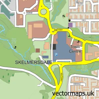
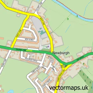
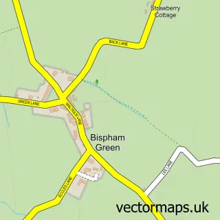
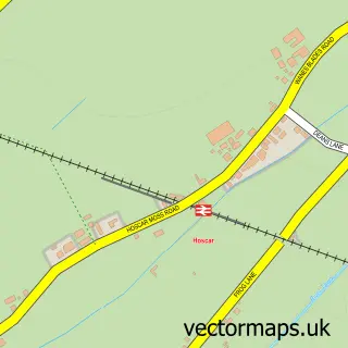
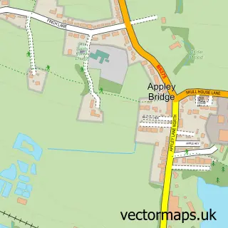
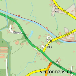
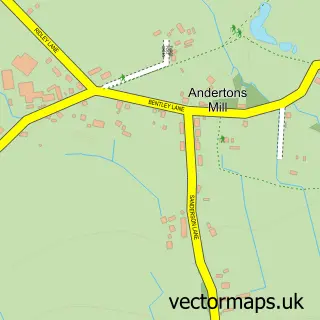
Nearby street map samples around Parbold

More street maps in Lancashire
750 metre map area coverage
Boundary, postcode and point of interest information for the 750m x 750m rectangle centred on this sample map.
Boundaries containing map centre
Constituency: West Lancashire Co Const
County: Lancashire County
District: West Lancashire District (B)
Icb: NHS Lancashire and South Cumbria ICB
Parish: Parbold CP
Police Force: lancashire
Postcode District: WN8
Postcode Sector: WN8 7
Ward: Rural North East Ward
Nearby boundaries intersecting sample
No additional intersecting boundaries found.
Postcode coverage
POI category counts
Beauty Salon: 2
Convenience Store: 2
Elementary School: 2
General Dentistry: 2
Hobby Shop: 2
Hotel: 2
Alternative Medicine: 1
Atms: 1
Barber: 1
Butcher Shop: 1
Sample points of interest
- Amanda Massyn
- Morrisons Daily - Parbold The Common
- AJ's Barber
- Radiant Living
- Silhouette Parbold
- Reynolds Butchers
- Val's Kitchen
- Parish of Our Lady and All Saints: Parbold
- Our Lady and All Saints RC Church
- Parbold Picture House
- Co-op Food - Parbold - Station Road
- McColl's
Create a larger editable map of Parbold
This sample shows only a 750 metre area. To create a larger map of Parbold, use our map builder to choose your own coverage area, add titles and download editable SVG, PDF and PNG files.
Create a custom map of Parbold