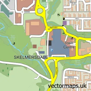
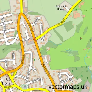
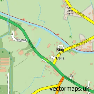
This Dalton street map is a detailed vector street map covering a 750m x 750m area. Select a larger area to create and download your own vector street map of Dalton.
The 750-metre map sample for Dalton covers 67 mapped buildings and approximately 7.3 km of road detail, of which 5 named roads are named. The immediate area includes 1 school, 3 GP surgeries within 2 miles and 7 MOT stations within 2 miles. To create a larger or custom map of Dalton, the map builder lets you define your own coverage area and download editable SVG, PDF and PNG files.
Create a larger editable map of Dalton
Choose any area you need and generate a high-quality vector map instantly. Perfect for print, planning, design, business and personal use.

This Dalton street map in Lancashire is available as downloadable SVG, PDF and PNG map files, or as a printed map for planning, business, display, education, local information and design work. You can also create a larger custom map area using the map selector.
What this Dalton map sample shows
Dalton lies within Lancashire County parish, part of Ashurst ward in the West Lancashire District (B) local authority area. The postcode geography for this area includes the WN postcode area, the WN8 postcode district and the WN8 6 postcode sector. Residents fall under the Nhs Lancashire And South Cumbria Integrated Care Board for NHS services.
Local features near Dalton
Within 2 milesAmenities and services in and around Dalton.
Administrative and postcode information for Dalton
The local authority covering Dalton is West Lancashire District (B), within the county of Lancashire. The settlement lies within Ashurst ward and Lancashire County civil parish. The WN8 postcode district and WN8 6 postcode sector serve the immediate area. NHS provision in the area is delivered through Southport And Ormskirk Hospital Nhs Trust.
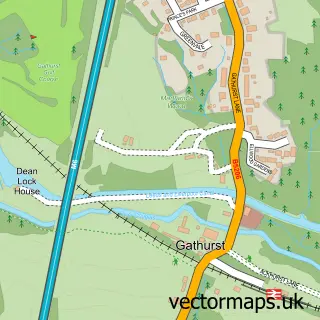
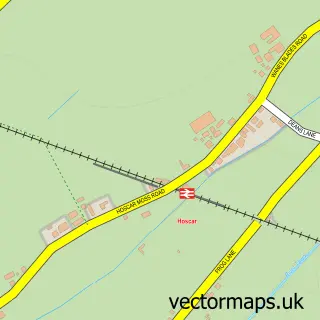
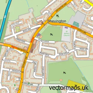
Nearby street map samples around Dalton

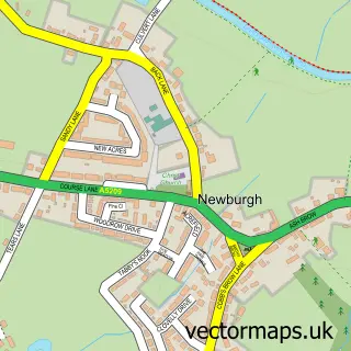
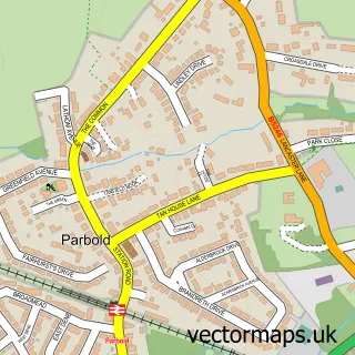
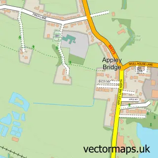
More street maps in Lancashire
750 metre map area coverage
Boundary, postcode and point of interest information for the 750m x 750m rectangle centred on this sample map.
Boundaries containing map centre
Constituency: West Lancashire Co Const
County: Lancashire County
District: West Lancashire District (B)
Icb: NHS Lancashire and South Cumbria ICB
Police Force: lancashire
Postcode District: WN8
Postcode Sector: WN8 7
Ward: Rural North East Ward
Nearby boundaries intersecting sample
Parish: Dalton CP, Newburgh CP
Postcode Sector: WN8 6
Ward: Skelmersdale North Ward
Postcode coverage
POI category counts
Anglican Church: 1
Automotive Repair: 1
Business Consulting: 1
Church Cathedral: 1
Elementary School: 1
Internet Cafe: 1
Key And Locksmith: 1
Video Film Production: 1
Sample points of interest
- St Michael & All Angels, Dalton
- Panache Tuning
- Human Reliability Associates
- St. Michael and All Angels Church
- Dalton St Michael's Church of England Primary School
- The Beacon
- SR Key Solutions
- Studio Rossiter
Create a larger editable map of Dalton
This sample shows only a 750 metre area. To create a larger map of Dalton, use our map builder to choose your own coverage area, add titles and download editable SVG, PDF and PNG files.
Create a custom map of Dalton