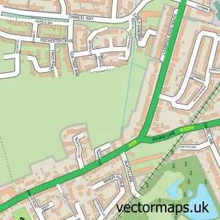
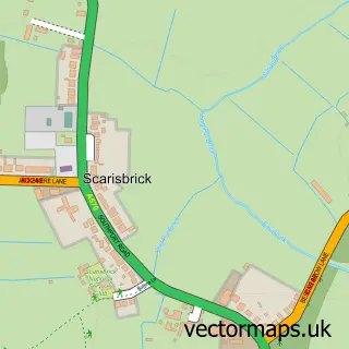
This Mere Brow street map is a detailed vector street map covering a 750m x 750m area. Select a larger area to create and download your own vector street map of Mere Brow.
The 750-metre map sample for Mere Brow covers 182 mapped buildings and approximately 10.2 km of road detail, of which 10 named roads are named. The immediate area includes 2 pubs and 2 MOT stations within 2 miles. The wider area around Mere Brow features 3 food and drink venues and 1 hotel. To create a larger or custom map of Mere Brow, the map builder lets you define your own coverage area and download editable SVG, PDF and PNG files.
Create a larger editable map of Mere Brow
Choose any area you need and generate a high-quality vector map instantly. Perfect for print, planning, design, business and personal use.

This Mere Brow street map in Lancashire is available as downloadable SVG, PDF and PNG map files, or as a printed map for planning, business, display, education, local information and design work. You can also create a larger custom map area using the map selector.
What this Mere Brow map sample shows
Mere Brow lies within Tarleton Cp parish, part of Tarleton ward in the West Lancashire District (B) local authority area. The postcode geography for this area includes the PR postcode area, the PR4 postcode district and the PR4 6 postcode sector. Residents fall under the Nhs Lancashire And South Cumbria Integrated Care Board for NHS services.
Local features near Mere Brow
Within 2 milesAmenities and services in and around Mere Brow.
Administrative and postcode information for Mere Brow
Mere Brow lies within Tarleton Cp parish, part of Tarleton ward in the West Lancashire District (B) local authority area. The postcode geography for this area includes the PR postcode area, the PR4 postcode district and the PR4 6 postcode sector. Residents fall under the Nhs Lancashire And South Cumbria Integrated Care Board for NHS services.
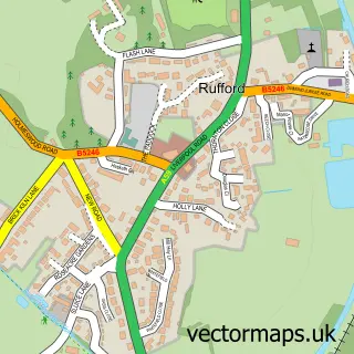
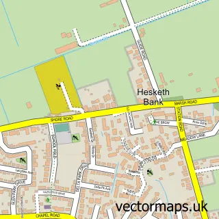
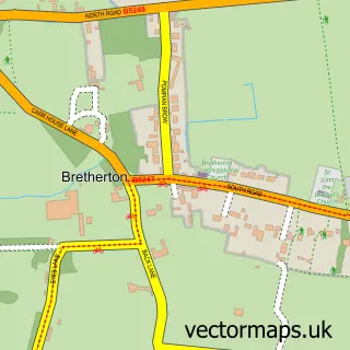
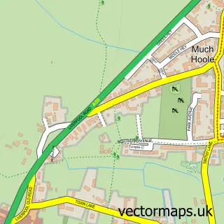
Nearby street map samples around Mere Brow

More street maps in Lancashire
750 metre map area coverage
Boundary, postcode and point of interest information for the 750m x 750m rectangle centred on this sample map.
Boundaries containing map centre
Constituency: Southport Co Const
County: Lancashire County
District: West Lancashire District (B)
Icb: NHS Lancashire and South Cumbria ICB
Parish: Tarleton CP
Police Force: lancashire
Postcode District: PR4
Postcode Sector: PR4 6
Ward: Burscough Bridge & Rufford Ward
Nearby boundaries intersecting sample
No additional intersecting boundaries found.
Postcode coverage
POI category counts
Bar: 2
Paintball: 2
Pub: 2
Building Supply Store: 1
Cafe: 1
Caterer: 1
Cleaning Services: 1
Community Services Non Profits: 1
Delicatessen: 1
Driving Range: 1
Sample points of interest
- Runner Plat Bar & Lounge
- The Western Frontier
- Sam Seafoods
- The Golf Cafe
- Henrys bistro Mere Brow
- Everest Loft Conversion Co
- Rowdy's Dance Ranch
- Mere Brow Deli
- Southport Golf Academy
- Mere Brow C of E Primary School
- Malbro Farms Ltd
- Neptune
Create a larger editable map of Mere Brow
This sample shows only a 750 metre area. To create a larger map of Mere Brow, use our map builder to choose your own coverage area, add titles and download editable SVG, PDF and PNG files.
Create a custom map of Mere Brow