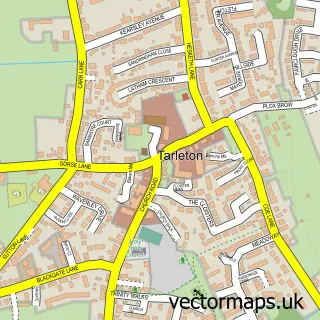
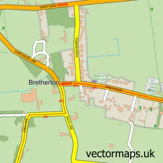
This Banks street map is a detailed vector street map covering a 750m x 750m area. Select a larger area to create and download your own vector street map of Banks.
The 750-metre map sample for Banks covers 401 mapped buildings and approximately 13.0 km of road detail, of which 18 named roads are named. The immediate area includes 2 GP surgeries within 2 miles, 1 pub and 3 MOT stations within 2 miles. The wider area around Banks features 1 food and drink venue. To create a larger or custom map of Banks, the map builder lets you define your own coverage area and download editable SVG, PDF and PNG files.
Create a larger editable map of Banks
Choose any area you need and generate a high-quality vector map instantly. Perfect for print, planning, design, business and personal use.

This Banks street map in Lancashire is available as downloadable SVG, PDF and PNG map files, or as a printed map for planning, business, display, education, local information and design work. You can also create a larger custom map area using the map selector.
What this Banks map sample shows
Banks lies within North Meols Cp parish, part of North Meols ward in the West Lancashire District (B) local authority area. The postcode geography for this area includes the PR postcode area, the PR9 postcode district and the PR9 8 postcode sector. Residents fall under the Nhs Lancashire And South Cumbria Integrated Care Board for NHS services.
Local features near Banks
Within 2 milesAmenities and services in and around Banks.
Administrative and postcode information for Banks
Banks lies within North Meols Cp parish, part of North Meols ward in the West Lancashire District (B) local authority area. The postcode geography for this area includes the PR postcode area, the PR9 postcode district and the PR9 8 postcode sector. Residents fall under the Nhs Lancashire And South Cumbria Integrated Care Board for NHS services.
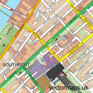
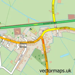
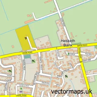
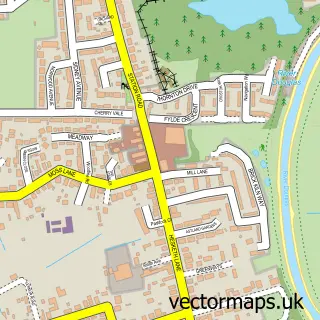
Nearby street map samples around Banks

More street maps in Lancashire
750 metre map area coverage
Boundary, postcode and point of interest information for the 750m x 750m rectangle centred on this sample map.
Boundaries containing map centre
Constituency: Southport Co Const
County: Lancashire County
District: West Lancashire District (B)
Icb: NHS Lancashire and South Cumbria ICB
Parish: North Meols CP
Police Force: lancashire
Postcode District: PR9
Postcode Sector: PR9 8
Ward: North Meols & Hesketh Bank Ward
Nearby boundaries intersecting sample
No additional intersecting boundaries found.
Postcode coverage
POI category counts
Automotive Repair: 2
Hair Salon: 2
Pet Services: 2
Truck Dealer For Businesses: 2
Alternative Medicine: 1
Anglican Church: 1
Appliance Repair Service: 1
Assisted Living Facility: 1
Automotive Dealer: 1
Automotive Services And Repair: 1
Sample points of interest
- Christine Favager
- St Stephen-in-the-Banks
- Tarleton Domestics
- Village Nursing Home
- C and D Vans Ltd
- Banks Service Station
- Hugh Baldwin
- InstaVolt Charging Station
- Ralph's Wife's
- Amyliddle.pmu
- G Fox - Hair Extension Specialist and Educator
- Bargain Booze
Create a larger editable map of Banks
This sample shows only a 750 metre area. To create a larger map of Banks, use our map builder to choose your own coverage area, add titles and download editable SVG, PDF and PNG files.
Create a custom map of Banks