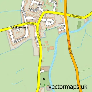
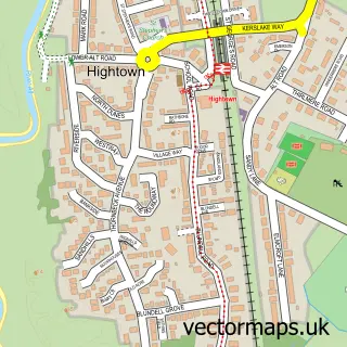
This Southport street map is a detailed vector street map covering a 750m x 750m area. Select a larger area to create and download your own vector street map of Southport.
The 750-metre map sample for Southport covers 208 mapped buildings and approximately 23.4 km of road detail, of which 52 named roads are named. The immediate area includes 1 railway station, 8 GP surgeries within 2 miles, 33 pubs and 4 MOT stations, with 25 within 2 miles. The wider area around Southport features 15 tourism points of interest, 100 food and drink venues and 31 hotels. To create a larger or custom map of Southport, the map builder lets you define your own coverage area and download editable SVG, PDF and PNG files.
Create a larger editable map of Southport
Choose any area you need and generate a high-quality vector map instantly. Perfect for print, planning, design, business and personal use.

This Southport street map in Merseyside is available as downloadable SVG, PDF and PNG map files, or as a printed map for planning, business, display, education, local information and design work. You can also create a larger custom map area using the map selector.
What this Southport map sample shows
Southport lies within Sefton District (B) parish, part of Duke's ward in the Sefton District (B) local authority area. The postcode geography for this area includes the PR postcode area, the PR8 postcode district and the PR8 1 postcode sector. Residents fall under the Nhs Cheshire And Merseyside Integrated Care Board for NHS services.
Local features near Southport
Within 2 milesAmenities and services in and around Southport.
Administrative and postcode information for Southport
The local authority covering Southport is Sefton District (B), within the county of Merseyside. The settlement lies within Duke's ward and Sefton District (B) civil parish. The PR8 postcode district and PR8 1 postcode sector serve the immediate area. NHS provision in the area is delivered through Southport And Ormskirk Hospital Nhs Trust.
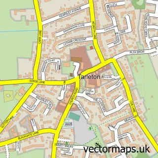
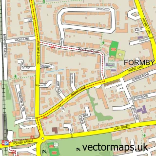
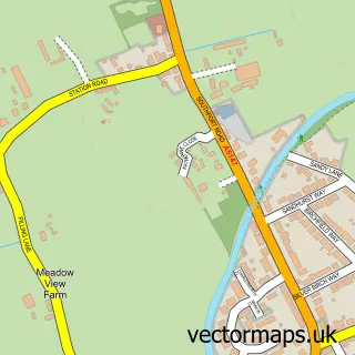
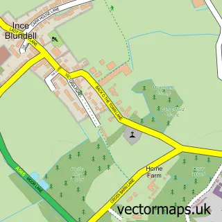
Nearby street map samples around Southport

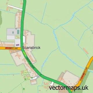
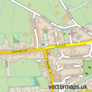
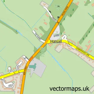
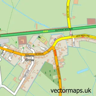
More street maps in Merseyside
750 metre map area coverage
Boundary, postcode and point of interest information for the 750m x 750m rectangle centred on this sample map.
Boundaries containing map centre
Constituency: Southport Co Const
District: Sefton District (B)
Icb: NHS Lancashire and South Cumbria ICB
Police Force: merseyside
Postcode District: PR9
Postcode Sector: PR9 0
Ward: Duke's Ward
Nearby boundaries intersecting sample
Postcode District: PR8
Postcode Sector: PR8 1, PR9 9
Ward: Cambridge Ward
Postcode coverage
POI category counts
Pub: 33
Bar: 31
Hotel: 31
Jewelry Store: 31
Cafe: 29
Hair Salon: 25
Restaurant: 25
Beauty Salon: 24
Clothing Store: 24
Real Estate Agent: 22
Sample points of interest
- Bennettbrooks Chartered Accountants
- Mark Vickers Accountants - Southport
- Pennington Silver Chartered Accountants
- Stubbs Parkin
- Kinetics Personal Training Services (Uk)
- Loreto Bamber Dancing Academy
- Masters Putting Course
- Southport Pier Pavilion
- Chinese Medical Centre
- White Lotus Acupuncture and Holistic Health
- Blue Cow Digital
- Ingenious Media Solutions
Create a larger editable map of Southport
This sample shows only a 750 metre area. To create a larger map of Southport, use our map builder to choose your own coverage area, add titles and download editable SVG, PDF and PNG files.
Create a custom map of Southport