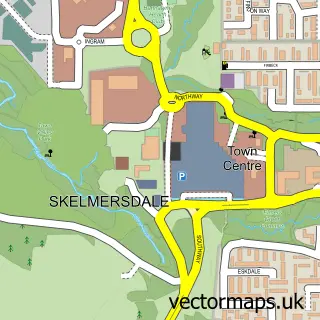
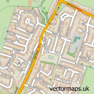
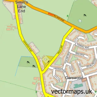
This Far Moor street map is a detailed vector street map covering a 750m x 750m area. Select a larger area to create and download your own vector street map of Far Moor.
The 750-metre map sample for Far Moor covers 487 mapped buildings and approximately 19.3 km of road detail, of which 49 named roads are named. The immediate area includes 1 school, 1 railway station, 6 GP surgeries within 2 miles and 7 MOT stations within 2 miles. The wider area around Far Moor features 1 tourism point of interest and 6 food and drink venues. To create a larger or custom map of Far Moor, the map builder lets you define your own coverage area and download editable SVG, PDF and PNG files.
Create a larger editable map of Far Moor
Choose any area you need and generate a high-quality vector map instantly. Perfect for print, planning, design, business and personal use.

This Far Moor street map in Greater Manchester is available as downloadable SVG, PDF and PNG map files, or as a printed map for planning, business, display, education, local information and design work. You can also create a larger custom map area using the map selector.
What this Far Moor map sample shows
Far Moor lies within Wigan District (B) parish, part of Orrell ward in the Wigan District (B) local authority area. The postcode geography for this area includes the WN postcode area, the WN5 postcode district and the WN5 8 postcode sector. Residents fall under the Nhs Greater Manchester Integrated Care Board for NHS services.
Local features near Far Moor
Within 2 milesAmenities and services in and around Far Moor.
Administrative and postcode information for Far Moor
The local authority covering Far Moor is Wigan District (B), within the county of Greater Manchester. The settlement lies within Orrell ward and Wigan District (B) civil parish. The WN5 postcode district and WN5 8 postcode sector serve the immediate area. NHS provision in the area is delivered through Wrightington, Wigan And Leigh Nhs Foundation Trust.
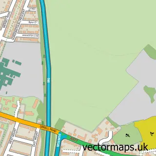
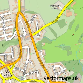
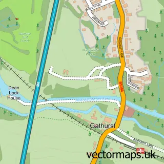
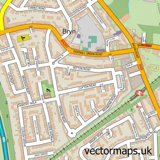
Nearby street map samples around Far Moor

More street maps in Greater Manchester
750 metre map area coverage
Boundary, postcode and point of interest information for the 750m x 750m rectangle centred on this sample map.
Boundaries containing map centre
Constituency: Makerfield Boro Const
District: Wigan District (B)
Icb: NHS Greater Manchester ICB
Police Force: greater manchester
Postcode District: WN5
Postcode Sector: WN5 8
Ward: Orrell Ward
Nearby boundaries intersecting sample
Constituency: West Lancashire Co Const
County: Lancashire County
District: West Lancashire District (B)
Icb: NHS Lancashire and South Cumbria ICB
Parish: Up Holland CP
Police Force: lancashire
Postcode District: WN8
Postcode Sector: WN5 7, WN8 0
Ward: Up Holland Ward
Postcode coverage
POI category counts
Beauty Salon: 10
Church Cathedral: 4
Professional Services: 4
Elementary School: 3
Real Estate Agent: 3
Bar: 2
Beauty And Spa: 2
Business Management Services: 2
Cafe: 2
Coffee Shop: 2
Sample points of interest
- Azizi Media Ltd
- New Oriental
- The Cooperative Food (BF) Church Street - Orrell, Orrell
- RBS
- St James Social Centre
- The Copper Tap
- Complexion Perfection - Medical Aesthetics & Skincare
- TANtrum Tan UK
- Beyond Beauty
- Carly's Beauty Salon
- Excel Hair Studio
- Hair Port Orrell
Create a larger editable map of Far Moor
This sample shows only a 750 metre area. To create a larger map of Far Moor, use our map builder to choose your own coverage area, add titles and download editable SVG, PDF and PNG files.
Create a custom map of Far Moor