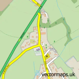
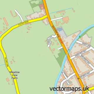
This Melling Mount street map is a detailed vector street map covering a 750m x 750m area. Select a larger area to create and download your own vector street map of Melling Mount.
The 750-metre map sample for Melling Mount covers 36 mapped buildings and approximately 5.9 km of road detail, of which 3 named roads are named. The immediate area includes 6 GP surgeries within 2 miles and 1 MOT station, with 4 within 2 miles. The wider area around Melling Mount features 2 food and drink venues. To create a larger or custom map of Melling Mount, the map builder lets you define your own coverage area and download editable SVG, PDF and PNG files.
Create a larger editable map of Melling Mount
Choose any area you need and generate a high-quality vector map instantly. Perfect for print, planning, design, business and personal use.

This Melling Mount street map in Merseyside is available as downloadable SVG, PDF and PNG map files, or as a printed map for planning, business, display, education, local information and design work. You can also create a larger custom map area using the map selector.
What this Melling Mount map sample shows
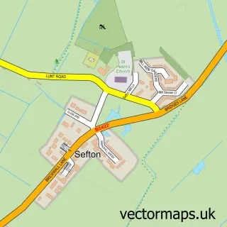
Melling Mount lies within Melling Cp parish, part of Molyneux ward in the Sefton District (B) local authority area. The postcode geography for this area includes the L postcode area, the L31 postcode district and the L31 1 postcode sector. Residents fall under the Nhs Cheshire And Merseyside Integrated Care Board for NHS services.
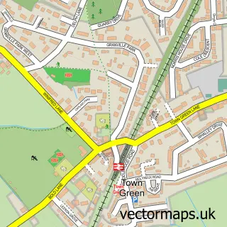
Local features near Melling Mount
Within 2 milesAmenities and services in and around Melling Mount.
Administrative and postcode information for Melling Mount
The local authority covering Melling Mount is Sefton District (B), within the county of Merseyside. The settlement lies within Molyneux ward and Melling Cp civil parish. The L31 postcode district and L31 1 postcode sector serve the immediate area. NHS provision in the area is delivered through Liverpool University Hospitals Nhs Foundation Trust.
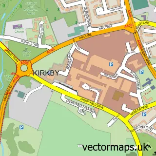
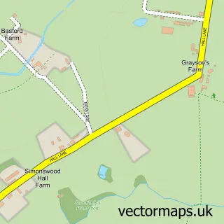
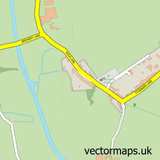
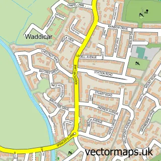
Nearby street map samples around Melling Mount

More street maps in Merseyside
750 metre map area coverage
Boundary, postcode and point of interest information for the 750m x 750m rectangle centred on this sample map.
Boundaries containing map centre
Constituency: Sefton Central Co Const
District: Sefton District (B)
Icb: NHS Lancashire and South Cumbria ICB
Parish: Melling CP
Police Force: merseyside
Postcode District: L31
Postcode Sector: L31 1
Ward: Molyneux Ward
Nearby boundaries intersecting sample
Constituency: Knowsley Boro Const
District: Knowsley District (B)
Postcode District: L33
Postcode Sector: L33 1
Postcode coverage
POI category counts
Gas Station: 3
Atms: 2
Professional Services: 2
Coffee Shop: 1
Convenience Store: 1
Dog Trainer: 1
Real Estate: 1
Rental Kiosks: 1
Restaurant: 1
Smoothie Juice Bar: 1
Sample points of interest
- Mount Garage (Liverpool) Ltd.
- Mount Service Station (P77 POD), Melling
- Costa Express
- Costcutter
- Specialist dog services.
- Gulf
- Gulf Retail UK
- TotalEnergies
- Corporate Services Group
- Earthlife Therapies
- Complete Properties Liverpool
- Costa Express
Create a larger editable map of Melling Mount
This sample shows only a 750 metre area. To create a larger map of Melling Mount, use our map builder to choose your own coverage area, add titles and download editable SVG, PDF and PNG files.
Create a custom map of Melling Mount