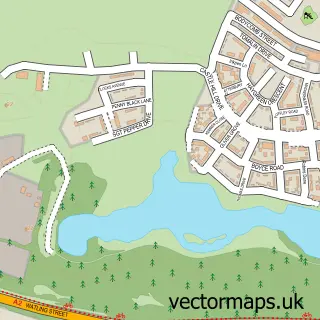
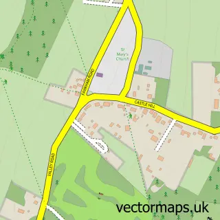
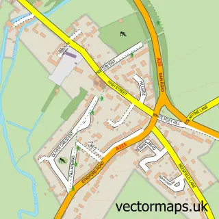
This Fawkham Green street map is a detailed vector street map covering a 750m x 750m area. Select a larger area to create and download your own vector street map of Fawkham Green.
The 750-metre map sample for Fawkham Green covers 73 mapped buildings and approximately 10.8 km of road detail, of which 7 named roads are named. The immediate area includes 1 pub and 1 MOT station, with 4 within 2 miles. The wider area around Fawkham Green features 2 food and drink venues. To create a larger or custom map of Fawkham Green, the map builder lets you define your own coverage area and download editable SVG, PDF and PNG files.
Create a larger editable map of Fawkham Green
Choose any area you need and generate a high-quality vector map instantly. Perfect for print, planning, design, business and personal use.

This Fawkham Green street map in Kent is available as downloadable SVG, PDF and PNG map files, or as a printed map for planning, business, display, education, local information and design work. You can also create a larger custom map area using the map selector.
What this Fawkham Green map sample shows
Fawkham Green lies within Fawkham Cp parish, part of Fawkham And West Kingsdown ward in the Sevenoaks District local authority area. The postcode geography for this area includes the DA postcode area, the DA3 postcode district and the DA3 8 postcode sector. Residents fall under the Nhs Kent And Medway Integrated Care Board for NHS services.
Local features near Fawkham Green
Within 2 milesAmenities and services in and around Fawkham Green.
Administrative and postcode information for Fawkham Green
Fawkham Green lies within Fawkham Cp parish, part of Fawkham And West Kingsdown ward in the Sevenoaks District local authority area. The postcode geography for this area includes the DA postcode area, the DA3 postcode district and the DA3 8 postcode sector. Residents fall under the Nhs Kent And Medway Integrated Care Board for NHS services.
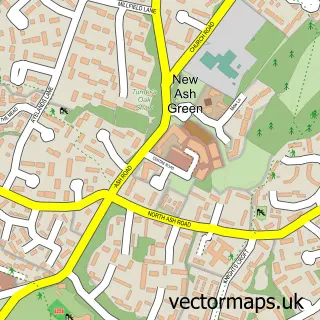
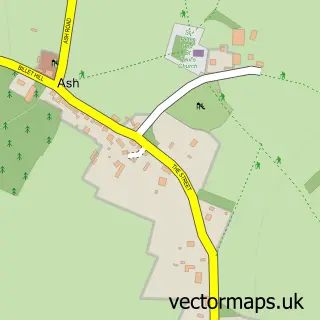
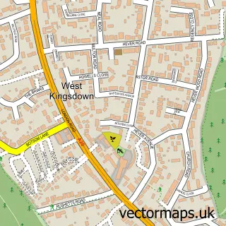
Nearby street map samples around Fawkham Green

More street maps in Kent
750 metre map area coverage
Boundary, postcode and point of interest information for the 750m x 750m rectangle centred on this sample map.
Boundaries containing map centre
Constituency: Sevenoaks Co Const
County: Kent County
District: Sevenoaks District
Icb: NHS Kent and Medway ICB
Parish: Fawkham CP
Police Force: kent
Postcode District: DA3
Postcode Sector: DA3 8
Ward: Fawkham and West Kingsdown Ward
Nearby boundaries intersecting sample
No additional intersecting boundaries found.
Postcode coverage
POI category counts
Building Supply Store: 2
Automotive Repair: 1
Cafe: 1
Electrician: 1
Ev Charging Station: 1
Gardener: 1
Gym: 1
Party And Event Planning: 1
Performing Arts: 1
Professional Services: 1
Sample points of interest
- Fawkham Green Garage Ltd
- Parfect Carpentry
- Ultraclear Home Improvements
- the_kitchen_on_the_farm
- SR Electrical Services
- bp Pulse
- Technical Landscapes
- Swale Divers
- Dreamie Teepees
- Apollo School of Performing Arts
- Committed HR
- The Rising Sun Inn
Create a larger editable map of Fawkham Green
This sample shows only a 750 metre area. To create a larger map of Fawkham Green, use our map builder to choose your own coverage area, add titles and download editable SVG, PDF and PNG files.
Create a custom map of Fawkham Green