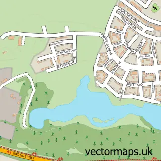
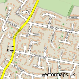
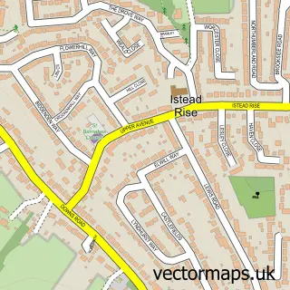
This Hartley street map is a detailed vector street map covering a 750m x 750m area. Select a larger area to create and download your own vector street map of Hartley.
The 750-metre map sample for Hartley covers 599 mapped buildings and approximately 16.6 km of road detail, of which 29 named roads are named. The immediate area includes 1 school, 1 GP surgery within 2 miles and 1 MOT station, with 6 within 2 miles. To create a larger or custom map of Hartley, the map builder lets you define your own coverage area and download editable SVG, PDF and PNG files.
Create a larger editable map of Hartley
Choose any area you need and generate a high-quality vector map instantly. Perfect for print, planning, design, business and personal use.

This Hartley street map in Kent is available as downloadable SVG, PDF and PNG map files, or as a printed map for planning, business, display, education, local information and design work. You can also create a larger custom map area using the map selector.
What this Hartley map sample shows
Hartley lies within Hartley Cp parish, part of Hartley And Hodsoll Street ward in the Sevenoaks District local authority area. The postcode geography for this area includes the DA postcode area, the DA3 postcode district and the DA3 8 postcode sector. Residents fall under the Nhs Kent And Medway Integrated Care Board for NHS services.
Local features near Hartley
Within 2 milesAmenities and services in and around Hartley.
Administrative and postcode information for Hartley
The local authority covering Hartley is Sevenoaks District, within the county of Kent. The settlement lies within Hartley And Hodsoll Street ward and Hartley Cp civil parish. The DA3 postcode district and DA3 8 postcode sector serve the immediate area. NHS provision in the area is delivered through Dartford And Gravesham Nhs Trust.
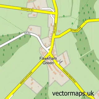
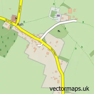
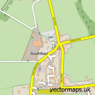
Nearby street map samples around Hartley

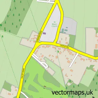
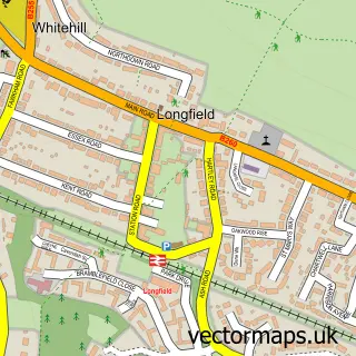
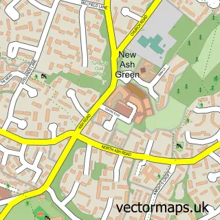
More street maps in Kent
750 metre map area coverage
Boundary, postcode and point of interest information for the 750m x 750m rectangle centred on this sample map.
Boundaries containing map centre
Constituency: Tonbridge Co Const
County: Kent County
District: Sevenoaks District
Icb: NHS Kent and Medway ICB
Parish: Hartley CP
Police Force: kent
Postcode District: DA3
Postcode Sector: DA3 8
Ward: Hartley and Hodsoll Street Ward
Nearby boundaries intersecting sample
Postcode Sector: DA3 7
Postcode coverage
POI category counts
Convenience Store: 3
Professional Services: 3
Beauty Salon: 2
Business Management Services: 2
Elementary School: 2
Grocery Store: 2
Hair Salon: 2
Arts And Crafts: 1
Assisted Living Facility: 1
Atms: 1
Sample points of interest
- Pro Style Embroidery & Printing
- Fairby Grange
- The Cooperative Food Hartley - Cherry Trees, Hartley
- Batemans Coachworks
- The Gear Box Motor Accessories
- Hartley Garage
- Aurora Natural Beauty
- Concept of Beauty
- Blue Ocean Investment Co.
- Post Office-Hartley
- Westwood Car & Commercial Ltd 01474 708299
- Saint Francis De Sales Catholic Church
Create a larger editable map of Hartley
This sample shows only a 750 metre area. To create a larger map of Hartley, use our map builder to choose your own coverage area, add titles and download editable SVG, PDF and PNG files.
Create a custom map of Hartley