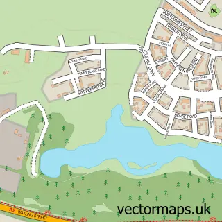
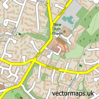
This New Barn street map is a detailed vector street map covering a 750m x 750m area. Select a larger area to create and download your own vector street map of New Barn.
The 750-metre map sample for New Barn covers 580 mapped buildings and approximately 15.2 km of road detail, of which 35 named roads are named. The immediate area includes 2 GP surgeries within 2 miles and 6 MOT stations within 2 miles. The wider area around New Barn features 1 tourism point of interest. To create a larger or custom map of New Barn, the map builder lets you define your own coverage area and download editable SVG, PDF and PNG files.
Create a larger editable map of New Barn
Choose any area you need and generate a high-quality vector map instantly. Perfect for print, planning, design, business and personal use.

This New Barn street map in Kent is available as downloadable SVG, PDF and PNG map files, or as a printed map for planning, business, display, education, local information and design work. You can also create a larger custom map area using the map selector.
What this New Barn map sample shows
New Barn lies within Longfield And New Barn Cp parish, part of Longfield, New Barn & Southfleet ward in the Dartford District (B) local authority area. The postcode geography for this area includes the DA postcode area, the DA3 postcode district and the DA3 7 postcode sector. Residents fall under the Nhs Kent And Medway Integrated Care Board for NHS services.
Local features near New Barn
Within 2 milesAmenities and services in and around New Barn.
Administrative and postcode information for New Barn
New Barn lies within Longfield And New Barn Cp parish, part of Longfield, New Barn & Southfleet ward in the Dartford District (B) local authority area. The postcode geography for this area includes the DA postcode area, the DA3 postcode district and the DA3 7 postcode sector. Residents fall under the Nhs Kent And Medway Integrated Care Board for NHS services.
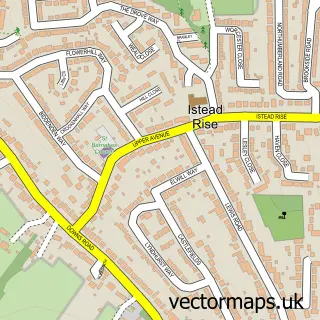
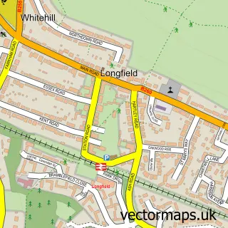
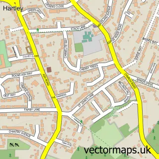
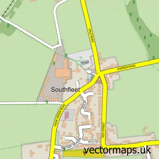
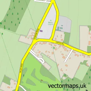
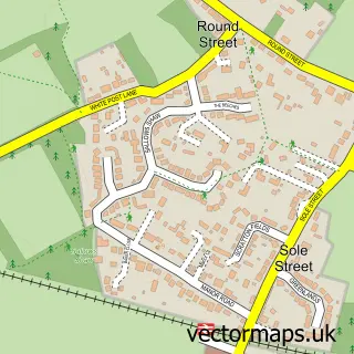
Nearby street map samples around New Barn

More street maps in Kent
750 metre map area coverage
Boundary, postcode and point of interest information for the 750m x 750m rectangle centred on this sample map.
Boundaries containing map centre
Constituency: Dartford Co Const
County: Kent County
District: Dartford District (B)
Icb: NHS Kent and Medway ICB
Parish: Longfield and New Barn CP
Police Force: kent
Postcode District: DA3
Postcode Sector: DA3 7
Ward: Longfield, New Barn & Southfleet Ward
Nearby boundaries intersecting sample
Constituency: Gravesham Co Const
District: Gravesham District (B)
Parish: Southfleet CP
Postcode District: DA13
Postcode Sector: DA13 9
Ward: Istead Rise, Cobham & Luddesdown Ward
Postcode coverage
POI category counts
Contractor: 3
Automotive Repair: 2
Bridal Shop: 2
Accountant: 1
Appliance Repair Service: 1
Aquatic Pet Store: 1
Auto Electrical Repair: 1
Beauty Salon: 1
Building Supply Store: 1
Business Management Services: 1
Sample points of interest
- Unicorn Bookkeeping
- AP Domestics
- Koi Waterlife Ltd
- Assured Electrical Contractors
- Motability Scheme at Bespoke Accessible Vehicles
- N Scott & Son Recovery
- As Beauty Comes
- Frannie Pants
- Video Memories
- Box Brickwork
- 4evermedia Ltd.
- J H Builders UK
Create a larger editable map of New Barn
This sample shows only a 750 metre area. To create a larger map of New Barn, use our map builder to choose your own coverage area, add titles and download editable SVG, PDF and PNG files.
Create a custom map of New Barn