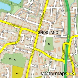
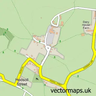
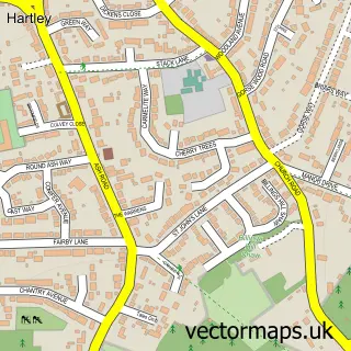
This Meopham street map is a detailed vector street map covering a 750m x 750m area. Select a larger area to create and download your own vector street map of Meopham.
The 750-metre map sample for Meopham covers 252 mapped buildings and approximately 12.1 km of road detail, of which 12 named roads are named. The immediate area includes 1 school, 1 GP surgery, 1 pub and 1 MOT station, with 4 within 2 miles. The wider area around Meopham features 1 food and drink venue. To create a larger or custom map of Meopham, the map builder lets you define your own coverage area and download editable SVG, PDF and PNG files.
Create a larger editable map of Meopham
Choose any area you need and generate a high-quality vector map instantly. Perfect for print, planning, design, business and personal use.

This Meopham street map in Kent is available as downloadable SVG, PDF and PNG map files, or as a printed map for planning, business, display, education, local information and design work. You can also create a larger custom map area using the map selector.
What this Meopham map sample shows
Meopham lies within Meopham Cp parish, part of Meopham North ward in the Gravesham District (B) local authority area. The postcode geography for this area includes the DA postcode area, the DA13 postcode district and the DA13 0 postcode sector. Residents fall under the Nhs Kent And Medway Integrated Care Board for NHS services.
Local features near Meopham
Within 2 milesAmenities and services in and around Meopham.
Administrative and postcode information for Meopham
Meopham lies within Meopham Cp parish, part of Meopham North ward in the Gravesham District (B) local authority area. The postcode geography for this area includes the DA postcode area, the DA13 postcode district and the DA13 0 postcode sector. Residents fall under the Nhs Kent And Medway Integrated Care Board for NHS services.
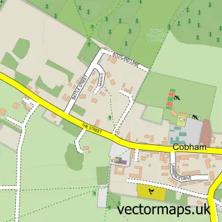
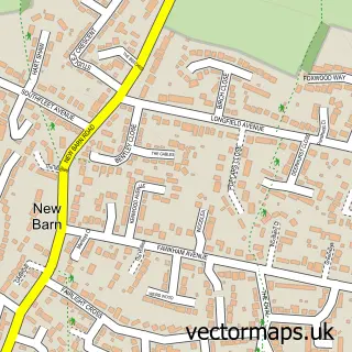
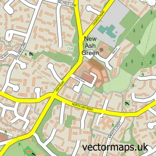
Nearby street map samples around Meopham

More street maps in Kent
750 metre map area coverage
Boundary, postcode and point of interest information for the 750m x 750m rectangle centred on this sample map.
Boundaries containing map centre
Constituency: Gravesham Co Const
County: Kent County
District: Gravesham District (B)
Icb: NHS Kent and Medway ICB
Parish: Meopham CP
Police Force: kent
Postcode District: DA13
Postcode Sector: DA13 0
Ward: Meopham South & Vigo Ward
Nearby boundaries intersecting sample
Ward: Meopham North Ward
Postcode coverage
POI category counts
Church Cathedral: 4
Doctor: 3
Building Supply Store: 2
Library: 2
Anglican Church: 1
Arts And Entertainment: 1
Carpenter: 1
Caterer: 1
Child Care And Day Care: 1
Dance School: 1
Sample points of interest
- Meopham: St John The Baptist
- Meopham Leisure Centre
- Kent Roofing Supplies
- Thameside Test & Research
- GNS Solid Surfaces
- Catering Consultancy Bureau
- Busy Bees at Meopham
- Meopham Church
- St John the Baptist Parish Church
- St John the Baptists Church
- St John's Church, Meopham
- The Amelia Appleby School of Performing Arts
Create a larger editable map of Meopham
This sample shows only a 750 metre area. To create a larger map of Meopham, use our map builder to choose your own coverage area, add titles and download editable SVG, PDF and PNG files.
Create a custom map of Meopham