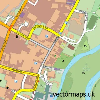
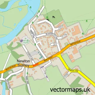
This Findern street map is a detailed vector street map covering a 750m x 750m area. Select a larger area to create and download your own vector street map of Findern.
The 750-metre map sample for Findern covers 367 mapped buildings and approximately 16.3 km of road detail, of which 29 named roads are named. The immediate area includes 2 GP surgeries within 2 miles, 3 pubs and 5 MOT stations within 2 miles. The wider area around Findern features 1 tourism point of interest and 4 food and drink venues. To create a larger or custom map of Findern, the map builder lets you define your own coverage area and download editable SVG, PDF and PNG files.
Create a larger editable map of Findern
Choose any area you need and generate a high-quality vector map instantly. Perfect for print, planning, design, business and personal use.

This Findern street map in Derbyshire is available as downloadable SVG, PDF and PNG map files, or as a printed map for planning, business, display, education, local information and design work. You can also create a larger custom map area using the map selector.
What this Findern map sample shows
Findern lies within Findern Cp parish, part of Willington And Findern ward in the South Derbyshire District local authority area. The postcode geography for this area includes the DE postcode area, the DE65 postcode district and the DE65 6 postcode sector. Residents fall under the Nhs Derby And Derbyshire Integrated Care Board for NHS services.
Local features near Findern
Within 2 milesAmenities and services in and around Findern.
Administrative and postcode information for Findern
Findern lies within Findern Cp parish, part of Willington And Findern ward in the South Derbyshire District local authority area. The postcode geography for this area includes the DE postcode area, the DE65 postcode district and the DE65 6 postcode sector. Residents fall under the Nhs Derby And Derbyshire Integrated Care Board for NHS services.
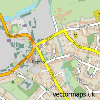
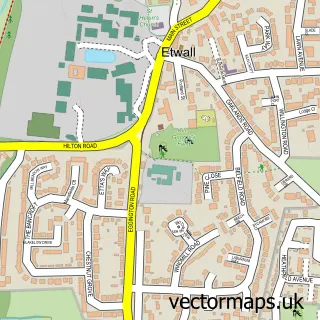
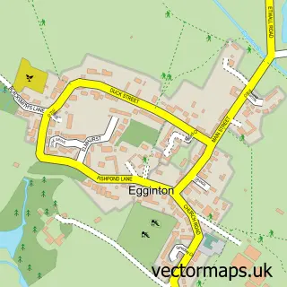
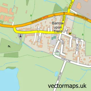
Nearby street map samples around Findern

More street maps in Derbyshire
750 metre map area coverage
Boundary, postcode and point of interest information for the 750m x 750m rectangle centred on this sample map.
Boundaries containing map centre
Constituency: South Derbyshire Co Const
County: Derbyshire County
District: South Derbyshire District
Icb: NHS Derby and Derbyshire ICB
Parish: Findern CP
Police Force: derbyshire
Postcode District: DE65
Postcode Sector: DE65 6
Ward: Willington and Findern Ward
Nearby boundaries intersecting sample
No additional intersecting boundaries found.
Postcode coverage
POI category counts
Pub: 3
Fireplace Service: 2
Funeral Services And Cemeteries: 2
Korean Grocery Store: 2
Building Supply Store: 1
Business Management Services: 1
Cafe: 1
Church Cathedral: 1
Community Center: 1
Cremation Services: 1
Sample points of interest
- South Derbys Electrical
- Bee-Assisted Virtual PA
- Find Cafe Findern
- All Saints Church
- Findern Village Hall
- Murray's Independent Funeral Directors
- Old Forge
- Batecool Ltd.
- Derbyshire Independent Financial Advisers LLP
- Cinders & Ashes Wood Burner Installation
- Smokie joe's
- Fenix Funeral
Create a larger editable map of Findern
This sample shows only a 750 metre area. To create a larger map of Findern, use our map builder to choose your own coverage area, add titles and download editable SVG, PDF and PNG files.
Create a custom map of Findern