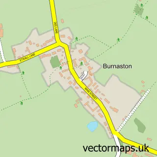
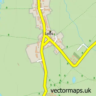
This Etwall street map is a detailed vector street map covering a 750m x 750m area. Select a larger area to create and download your own vector street map of Etwall.
The 750-metre map sample for Etwall covers 527 mapped buildings and approximately 26.0 km of road detail, of which 38 named roads are named. The immediate area includes 1 primary school and 1 secondary school, 1 GP surgery within 2 miles, 3 pubs and 4 MOT stations within 2 miles. The wider area around Etwall features 3 food and drink venues and 1 hotel. To create a larger or custom map of Etwall, the map builder lets you define your own coverage area and download editable SVG, PDF and PNG files.
Create a larger editable map of Etwall
Choose any area you need and generate a high-quality vector map instantly. Perfect for print, planning, design, business and personal use.

This Etwall street map in Derbyshire is available as downloadable SVG, PDF and PNG map files, or as a printed map for planning, business, display, education, local information and design work. You can also create a larger custom map area using the map selector.
What this Etwall map sample shows
Etwall lies within Etwall Cp parish, part of Etwall ward in the South Derbyshire District local authority area. The postcode geography for this area includes the DE postcode area, the DE65 postcode district and the DE65 6 postcode sector. Residents fall under the Nhs Derby And Derbyshire Integrated Care Board for NHS services.
Local features near Etwall
Within 2 milesAmenities and services in and around Etwall.
Administrative and postcode information for Etwall
The local authority covering Etwall is South Derbyshire District, within the county of Derbyshire. The settlement lies within Etwall ward and Etwall Cp civil parish. The DE65 postcode district and DE65 6 postcode sector serve the immediate area. NHS provision in the area is delivered through University Hospitals Of Derby And Burton Nhs Foundation Trust.
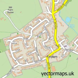
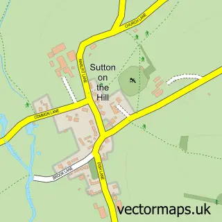
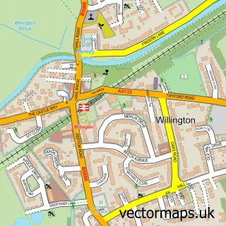
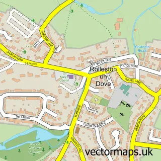
Nearby street map samples around Etwall

More street maps in Derbyshire
750 metre map area coverage
Boundary, postcode and point of interest information for the 750m x 750m rectangle centred on this sample map.
Boundaries containing map centre
Constituency: South Derbyshire Co Const
County: Derbyshire County
District: South Derbyshire District
Icb: NHS Derby and Derbyshire ICB
Parish: Etwall CP
Police Force: derbyshire
Postcode District: DE65
Postcode Sector: DE65 6
Ward: Etwall Ward
Nearby boundaries intersecting sample
No additional intersecting boundaries found.
Postcode coverage
POI category counts
Convenience Store: 6
Barber: 3
Pub: 3
Church Cathedral: 2
Elementary School: 2
Sports Club And League: 2
Arts And Entertainment: 1
Bakery: 1
Beauty Salon: 1
Building Supply Store: 1
Sample points of interest
- J B Illustrations
- Carla's Bakes
- Blakes
- Slades Barber shop
- Turkish Barbers
- Etwall barbers Blakes
- Kay and Haddock
- Create Your Message
- Kids Aid Tanzania
- Etwall Methodist Church
- St Helen's Church
- Midbrook Buildings
Create a larger editable map of Etwall
This sample shows only a 750 metre area. To create a larger map of Etwall, use our map builder to choose your own coverage area, add titles and download editable SVG, PDF and PNG files.
Create a custom map of Etwall