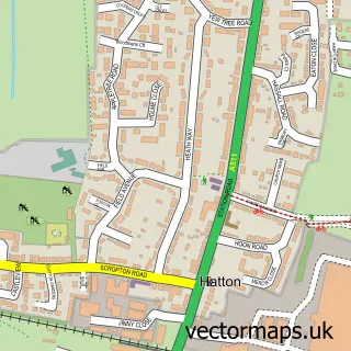
This Hilton street map is a detailed vector street map covering a 750m x 750m area. Select a larger area to create and download your own vector street map of Hilton.
The 750-metre map sample for Hilton covers 631 mapped buildings and approximately 26.5 km of road detail, of which 47 named roads are named. The immediate area includes 1 school, 1 GP surgery, 3 pubs and 2 MOT stations within 2 miles. The wider area around Hilton features 5 food and drink venues and 1 hotel. To create a larger or custom map of Hilton, the map builder lets you define your own coverage area and download editable SVG, PDF and PNG files.
Create a larger editable map of Hilton
Choose any area you need and generate a high-quality vector map instantly. Perfect for print, planning, design, business and personal use.

This Hilton street map in Derbyshire is available as downloadable SVG, PDF and PNG map files, or as a printed map for planning, business, display, education, local information and design work. You can also create a larger custom map area using the map selector.
What this Hilton map sample shows
Hilton lies within Hilton Cp parish, part of Hilton ward in the South Derbyshire District local authority area. The postcode geography for this area includes the DE postcode area, the DE65 postcode district and the DE65 5 postcode sector. Residents fall under the Nhs Derby And Derbyshire Integrated Care Board for NHS services.
Local features near Hilton
Within 2 milesAmenities and services in and around Hilton.
Administrative and postcode information for Hilton
Hilton lies within Hilton Cp parish, part of Hilton ward in the South Derbyshire District local authority area. The postcode geography for this area includes the DE postcode area, the DE65 postcode district and the DE65 5 postcode sector. Residents fall under the Nhs Derby And Derbyshire Integrated Care Board for NHS services.
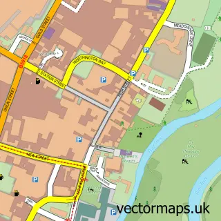
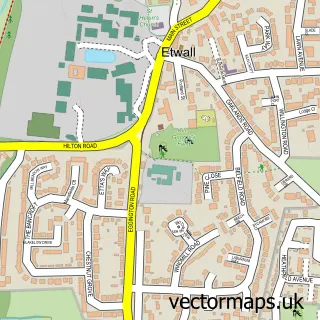
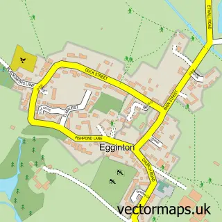
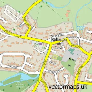
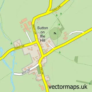
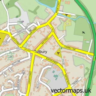
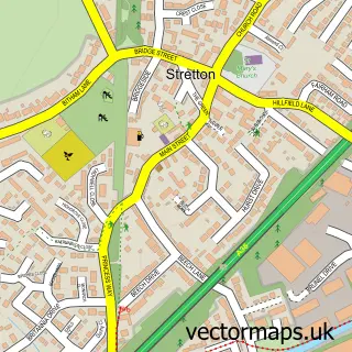
Nearby street map samples around Hilton

More street maps in Derbyshire
750 metre map area coverage
Boundary, postcode and point of interest information for the 750m x 750m rectangle centred on this sample map.
Boundaries containing map centre
Constituency: Derbyshire Dales Co Const
County: Derbyshire County
District: South Derbyshire District
Icb: NHS Derby and Derbyshire ICB
Parish: Hilton CP
Police Force: derbyshire
Postcode District: DE65
Postcode Sector: DE65 5
Ward: Hilton Ward
Nearby boundaries intersecting sample
No additional intersecting boundaries found.
Postcode coverage
POI category counts
Professional Services: 5
Beauty Salon: 4
Hair Salon: 4
Home Service: 3
Pub: 3
Building Supply Store: 2
Coffee Shop: 2
Community Center: 2
Contractor: 2
Convenience Store: 2
Sample points of interest
- Hilton Garage
- TLC Bakery
- Mullion Cove Cornwall
- Preen at Seven
- Tan-Yah
- Hair by Paulette
- Lily Francesca Beauty
- Mercia Aesthetica
- The Beauty Mill Treatment Rooms
- The Hourglass, Hilton
- Reliant Window Cleaning Services
- Biokil Crown
Create a larger editable map of Hilton
This sample shows only a 750 metre area. To create a larger map of Hilton, use our map builder to choose your own coverage area, add titles and download editable SVG, PDF and PNG files.
Create a custom map of Hilton