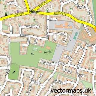
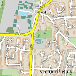
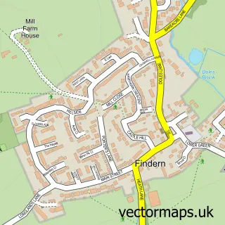
This Egginton street map is a detailed vector street map covering a 750m x 750m area. Select a larger area to create and download your own vector street map of Egginton.
The 750-metre map sample for Egginton covers 200 mapped buildings and approximately 11.4 km of road detail, of which 13 named roads are named. The immediate area includes 1 school, 2 GP surgeries within 2 miles and 4 MOT stations within 2 miles. The wider area around Egginton features 1 hotel. To create a larger or custom map of Egginton, the map builder lets you define your own coverage area and download editable SVG, PDF and PNG files.
Create a larger editable map of Egginton
Choose any area you need and generate a high-quality vector map instantly. Perfect for print, planning, design, business and personal use.

This Egginton street map in Derbyshire is available as downloadable SVG, PDF and PNG map files, or as a printed map for planning, business, display, education, local information and design work. You can also create a larger custom map area using the map selector.
What this Egginton map sample shows
Egginton lies within Egginton Cp parish, part of Etwall ward in the South Derbyshire District local authority area. The postcode geography for this area includes the DE postcode area, the DE65 postcode district and the DE65 6 postcode sector. Residents fall under the Nhs Derby And Derbyshire Integrated Care Board for NHS services.
Local features near Egginton
Within 2 milesAmenities and services in and around Egginton.
Administrative and postcode information for Egginton
Egginton lies within Egginton Cp parish, part of Etwall ward in the South Derbyshire District local authority area. The postcode geography for this area includes the DE postcode area, the DE65 postcode district and the DE65 6 postcode sector. Residents fall under the Nhs Derby And Derbyshire Integrated Care Board for NHS services.
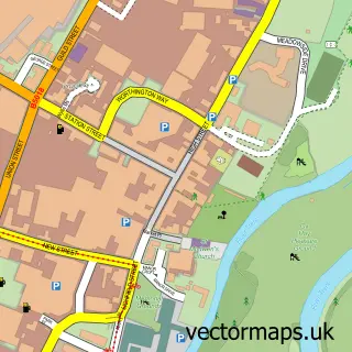
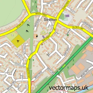
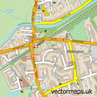
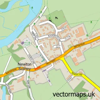
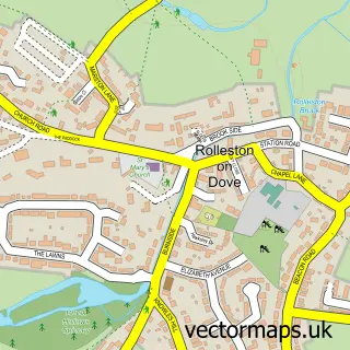
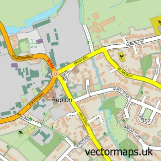
Nearby street map samples around Egginton

More street maps in Derbyshire
750 metre map area coverage
Boundary, postcode and point of interest information for the 750m x 750m rectangle centred on this sample map.
Boundaries containing map centre
Constituency: South Derbyshire Co Const
County: Derbyshire County
District: South Derbyshire District
Icb: NHS Derby and Derbyshire ICB
Parish: Egginton CP
Police Force: derbyshire
Postcode District: DE65
Postcode Sector: DE65 6
Ward: Etwall Ward
Nearby boundaries intersecting sample
No additional intersecting boundaries found.
Postcode coverage
POI category counts
Business Consulting: 1
Doctor: 1
Elementary School: 1
Furniture Assembly: 1
Hotel: 1
Physical Therapy: 1
Pilates Studio: 1
Public And Government Association: 1
Social Service Organizations: 1
Sample points of interest
- Aqumen Solutions
- Physio Where You Are
- Egginton Primary School
- Traditional Furnishings
- Duck Crossing
- Erica Malcolm MCSP
- Star Pilates
- Etwall Parish Council
- Frank Wickham Hall
Create a larger editable map of Egginton
This sample shows only a 750 metre area. To create a larger map of Egginton, use our map builder to choose your own coverage area, add titles and download editable SVG, PDF and PNG files.
Create a custom map of Egginton