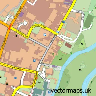
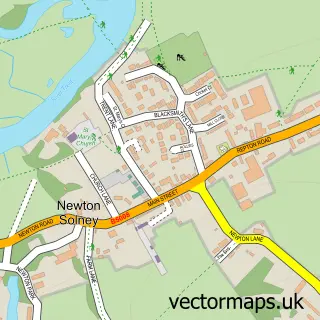
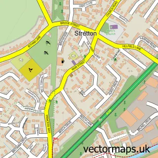
This Willington street map is a detailed vector street map covering a 750m x 750m area. Select a larger area to create and download your own vector street map of Willington.
The 750-metre map sample for Willington covers 424 mapped buildings and approximately 23.5 km of road detail, of which 39 named roads are named. The immediate area includes 1 railway station, 1 GP surgery, 5 pubs and 3 MOT stations within 2 miles. The wider area around Willington features 7 food and drink venues and 1 hotel. To create a larger or custom map of Willington, the map builder lets you define your own coverage area and download editable SVG, PDF and PNG files.
Create a larger editable map of Willington
Choose any area you need and generate a high-quality vector map instantly. Perfect for print, planning, design, business and personal use.

This Willington street map in Derbyshire is available as downloadable SVG, PDF and PNG map files, or as a printed map for planning, business, display, education, local information and design work. You can also create a larger custom map area using the map selector.
What this Willington map sample shows
Willington lies within Willington Cp parish, part of Willington And Findern ward in the South Derbyshire District local authority area. The postcode geography for this area includes the DE postcode area, the DE65 postcode district and the DE65 6 postcode sector. Residents fall under the Nhs Derby And Derbyshire Integrated Care Board for NHS services.
Local features near Willington
Within 2 milesAmenities and services in and around Willington.
Administrative and postcode information for Willington
Willington lies within Willington Cp parish, part of Willington And Findern ward in the South Derbyshire District local authority area. The postcode geography for this area includes the DE postcode area, the DE65 postcode district and the DE65 6 postcode sector. Residents fall under the Nhs Derby And Derbyshire Integrated Care Board for NHS services.
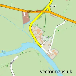
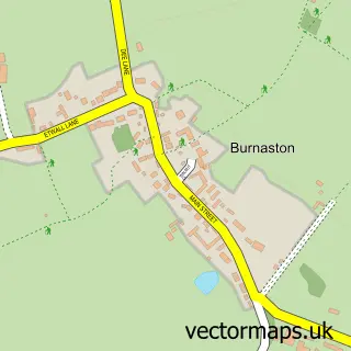
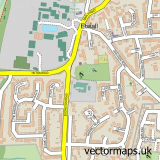
Nearby street map samples around Willington

More street maps in Derbyshire
750 metre map area coverage
Boundary, postcode and point of interest information for the 750m x 750m rectangle centred on this sample map.
Boundaries containing map centre
Constituency: South Derbyshire Co Const
County: Derbyshire County
District: South Derbyshire District
Icb: NHS Derby and Derbyshire ICB
Parish: Willington CP
Police Force: derbyshire
Postcode District: DE65
Postcode Sector: DE65 6
Ward: Willington and Findern Ward
Nearby boundaries intersecting sample
No additional intersecting boundaries found.
Postcode coverage
POI category counts
Pub: 5
Flowers And Gifts Shop: 3
Hair Salon: 3
Train Station: 3
Used Car Dealer: 3
Accountant: 2
Advertising Agency: 2
Chinese Restaurant: 2
Church Cathedral: 2
Contractor: 2
Sample points of interest
- Bespoke Inns
- R M H Associates
- RMH Associates
- Maximizon Ltd.
- Middle 8 Media
- St Michael's
- Tangent Treasures
- Bluebird Fine Art Gallery
- Hettie and Sid
- The Ear Place
- Mg Obsession
- Bluebird C R M
Create a larger editable map of Willington
This sample shows only a 750 metre area. To create a larger map of Willington, use our map builder to choose your own coverage area, add titles and download editable SVG, PDF and PNG files.
Create a custom map of Willington