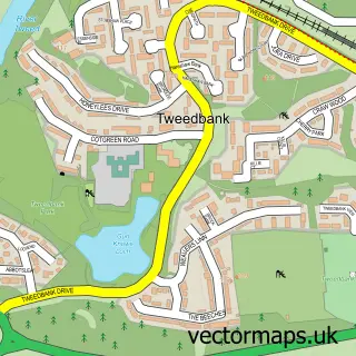
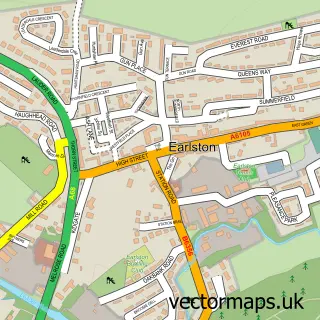
This Galashiels street map is a detailed vector street map covering a 750m x 750m area. Select a larger area to create and download your own vector street map of Galashiels.
The 750-metre map sample for Galashiels covers 253 mapped buildings and approximately 22.1 km of road detail, of which 45 named roads are named. The immediate area includes 1 railway station, 3 GP surgeries, with 4 within 2 miles, 7 pubs and 2 MOT stations, with 6 within 2 miles. The wider area around Galashiels features 7 tourism points of interest, 28 food and drink venues and 3 hotels. To create a larger or custom map of Galashiels, the map builder lets you define your own coverage area and download editable SVG, PDF and PNG files.
Create a larger editable map of Galashiels
Choose any area you need and generate a high-quality vector map instantly. Perfect for print, planning, design, business and personal use.

This Galashiels street map in Roxburgh, Ettrick and Lauderdale is available as downloadable SVG, PDF and PNG map files, or as a printed map for planning, business, display, education, local information and design work. You can also create a larger custom map area using the map selector.
What this Galashiels map sample shows
Galashiels lies within Scottish Borders parish, part of Galashiels And District ward in the Scottish Borders local authority area. The postcode geography for this area includes the TD postcode area, the TD1 postcode district and the TD1 3 postcode sector. Residents fall under the Borders for NHS services.
Local features near Galashiels
Within 2 milesAmenities and services in and around Galashiels.
Administrative and postcode information for Galashiels
Galashiels lies within Scottish Borders parish, part of Galashiels And District ward in the Scottish Borders local authority area. The postcode geography for this area includes the TD postcode area, the TD1 postcode district and the TD1 3 postcode sector. Residents fall under the Borders for NHS services.
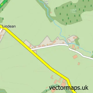
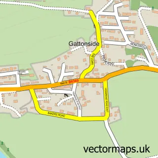
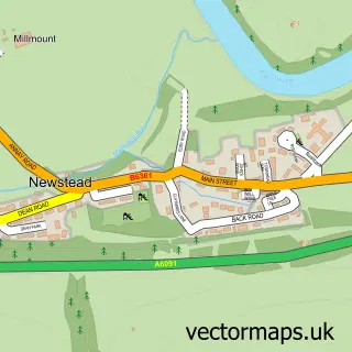
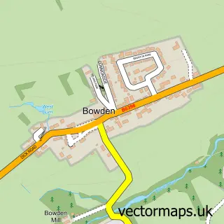
Nearby street map samples around Galashiels

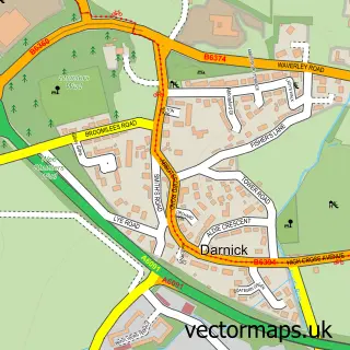
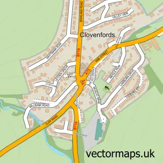
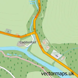
More street maps in Roxburgh, Ettrick and Lauderdale
750 metre map area coverage
Boundary, postcode and point of interest information for the 750m x 750m rectangle centred on this sample map.
Boundaries containing map centre
Constituency: Berwickshire, Roxburgh and Selkirk Co Const
District: Scottish Borders
Icb: Borders
Postcode District: TD1
Postcode Sector: TD1 3
Ward: Galashiels and District Ward
Nearby boundaries intersecting sample
Postcode Sector: TD1 1, TD1 2
Postcode coverage
POI category counts
Beauty Salon: 21
Cafe: 12
Charity Organization: 12
Clothing Store: 9
Hair Salon: 9
Dentist: 8
Real Estate Agent: 8
Supermarket: 8
Bank Credit Union: 7
Barber: 7
Sample points of interest
- Addaction Borders
- The J R W Group
- Healing Point Acupuncture Scottish Borders
- Chinese Medicine Centre
- The Braw Bear
- Shaw Trust - Charity shop - Galashiels
- Fraser & Allin
- Army Reserve Centre
- Moondogs
- Craft It
- Untangled Yarns Limited
- Volunteer Hall
Create a larger editable map of Galashiels
This sample shows only a 750 metre area. To create a larger map of Galashiels, use our map builder to choose your own coverage area, add titles and download editable SVG, PDF and PNG files.
Create a custom map of Galashiels