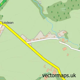
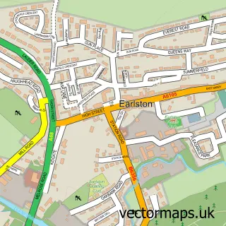
This Tweedbank street map is a detailed vector street map covering a 750m x 750m area. Select a larger area to create and download your own vector street map of Tweedbank.
The 750-metre map sample for Tweedbank covers 235 mapped buildings and approximately 16.5 km of road detail, of which 25 named roads are named. The immediate area includes 3 GP surgeries within 2 miles and 6 MOT stations within 2 miles. The wider area around Tweedbank features 2 tourism points of interest and 1 campsite within 2 miles. To create a larger or custom map of Tweedbank, the map builder lets you define your own coverage area and download editable SVG, PDF and PNG files.
Create a larger editable map of Tweedbank
Choose any area you need and generate a high-quality vector map instantly. Perfect for print, planning, design, business and personal use.

This Tweedbank street map in Roxburgh, Ettrick and Lauderdale is available as downloadable SVG, PDF and PNG map files, or as a printed map for planning, business, display, education, local information and design work. You can also create a larger custom map area using the map selector.
What this Tweedbank map sample shows
Tweedbank lies within Scottish Borders parish, part of Leaderdale And Melrose ward in the Scottish Borders local authority area. The postcode geography for this area includes the TD postcode area, the TD1 postcode district and the TD1 3 postcode sector. Residents fall under the Borders for NHS services.
Local features near Tweedbank
Within 2 milesAmenities and services in and around Tweedbank.
Administrative and postcode information for Tweedbank
The local authority covering Tweedbank is Scottish Borders, within the county of Roxburgh, Ettrick And Lauderdale. The settlement lies within Leaderdale And Melrose ward and Scottish Borders civil parish. The TD1 postcode district and TD1 3 postcode sector serve the immediate area. NHS provision in the area is delivered through Borders.
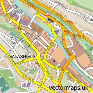
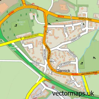
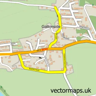
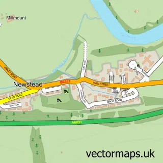
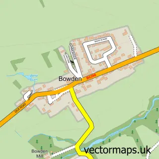
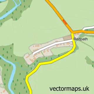
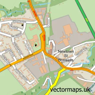
Nearby street map samples around Tweedbank

More street maps in Roxburgh, Ettrick and Lauderdale
750 metre map area coverage
Boundary, postcode and point of interest information for the 750m x 750m rectangle centred on this sample map.
Boundaries containing map centre
Constituency: Berwickshire, Roxburgh and Selkirk Co Const
District: Scottish Borders
Icb: Borders
Postcode District: TD1
Postcode Sector: TD1 3
Ward: Leaderdale and Melrose Ward
Nearby boundaries intersecting sample
Postcode District: TD6
Postcode Sector: TD1 2, TD6 9
Ward: Galashiels and District Ward
Postcode coverage
POI category counts
Professional Services: 3
Community Center: 2
Contractor: 2
Convenience Store: 2
Assisted Living Facility: 1
Atms: 1
Beauty And Spa: 1
Bicycle Shop: 1
Building Supply Store: 1
Charity Organization: 1
Sample points of interest
- Eildon Housing Association
- Tweed Bank Late Shop (ERF) (Protected)
- The Luxury Look
- Just Cycle Ltd
- S & S Joinery Home Improvements
- Borders Aspergers & Autism Group Support
- Tweedbank Baby and Toddler Group
- Tweedbank Community Centre
- Fresh Finishes
- Stuart Ogle Cattle Foot Trimmer
- One Stop
- Premier
Create a larger editable map of Tweedbank
This sample shows only a 750 metre area. To create a larger map of Tweedbank, use our map builder to choose your own coverage area, add titles and download editable SVG, PDF and PNG files.
Create a custom map of Tweedbank