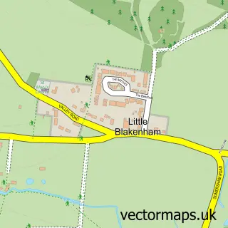
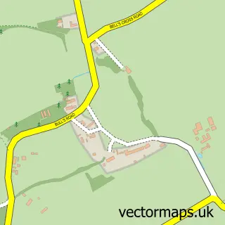
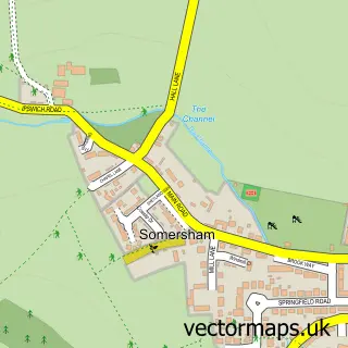
This Great Blakenham street map is a detailed vector street map covering a 750m x 750m area. Select a larger area to create and download your own vector street map of Great Blakenham.
The 750-metre map sample for Great Blakenham covers 338 mapped buildings and approximately 11.4 km of road detail, of which 22 named roads are named. The immediate area includes 1 pub and 4 MOT stations within 2 miles. The wider area around Great Blakenham features 3 food and drink venues. To create a larger or custom map of Great Blakenham, the map builder lets you define your own coverage area and download editable SVG, PDF and PNG files.
Create a larger editable map of Great Blakenham
Choose any area you need and generate a high-quality vector map instantly. Perfect for print, planning, design, business and personal use.

This Great Blakenham street map in Suffolk is available as downloadable SVG, PDF and PNG map files, or as a printed map for planning, business, display, education, local information and design work. You can also create a larger custom map area using the map selector.
What this Great Blakenham map sample shows
Great Blakenham lies within Great Blakenham Cp parish, part of Blakenham ward in the Mid Suffolk District local authority area. The postcode geography for this area includes the IP postcode area, the IP6 postcode district and the IP6 0 postcode sector. Residents fall under the Nhs Suffolk And North East Essex Integrated Care Board for NHS services.
Local features near Great Blakenham
Within 2 milesAmenities and services in and around Great Blakenham.
Administrative and postcode information for Great Blakenham
The local authority covering Great Blakenham is Mid Suffolk District, within the county of Suffolk. The settlement lies within Blakenham ward and Great Blakenham Cp civil parish. The IP6 postcode district and IP6 0 postcode sector serve the immediate area. NHS provision in the area is delivered through East Suffolk And North Essex Nhs Foundation Trust.
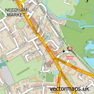
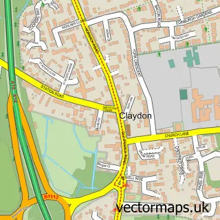
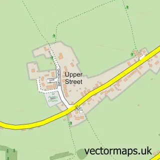
Nearby street map samples around Great Blakenham

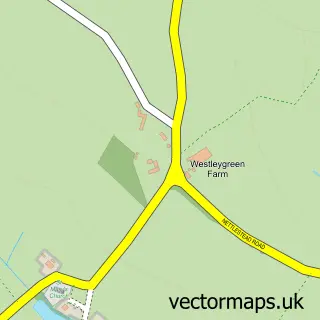
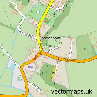
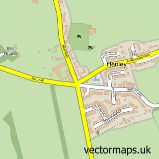
More street maps in Suffolk
750 metre map area coverage
Boundary, postcode and point of interest information for the 750m x 750m rectangle centred on this sample map.
Boundaries containing map centre
Constituency: Central Suffolk and North Ipswich Co Const
County: Suffolk County
District: Mid Suffolk District
Icb: NHS Essex ICB
Parish: Great Blakenham CP
Police Force: suffolk
Postcode District: IP6
Postcode Sector: IP6 0
Ward: Blakenham Ward
Nearby boundaries intersecting sample
Parish: Barham CP
Ward: Claydon & Barham Ward
Postcode coverage
POI category counts
Convenience Store: 2
Engineering Services: 2
Anglican Church: 1
Auto Body Shop: 1
Beauty Salon: 1
Boat Parts And Accessories: 1
Bridge: 1
Cafe: 1
Church Cathedral: 1
Coffee Shop: 1
Sample points of interest
- St Mary's Church, Gt Blakenham
- B & R Bodyworks
- Foxy Nails by Meg
- Suffolk Marine Safety
- Blakenham, River Gipping
- Bramford Waterfront Cafe Limited
- St Mary's Church
- Costa Express
- Blakenham Stores - Budgens
- Budgens
- Boardley & Roberts Ltd
- Tex Engineering
Create a larger editable map of Great Blakenham
This sample shows only a 750 metre area. To create a larger map of Great Blakenham, use our map builder to choose your own coverage area, add titles and download editable SVG, PDF and PNG files.
Create a custom map of Great Blakenham