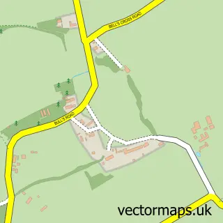
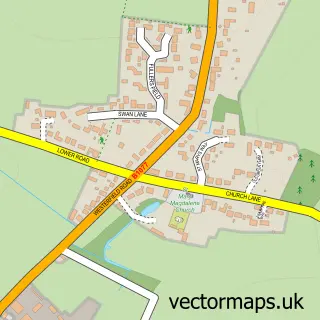
This Henley street map is a detailed vector street map covering a 750m x 750m area. Select a larger area to create and download your own vector street map of Henley.
The 750-metre map sample for Henley covers 160 mapped buildings and approximately 9.2 km of road detail, of which 10 named roads are named. The immediate area includes 1 MOT station. The wider area around Henley features 1 campsite within 2 miles. To create a larger or custom map of Henley, the map builder lets you define your own coverage area and download editable SVG, PDF and PNG files.
Create a larger editable map of Henley
Choose any area you need and generate a high-quality vector map instantly. Perfect for print, planning, design, business and personal use.

This Henley street map in Suffolk is available as downloadable SVG, PDF and PNG map files, or as a printed map for planning, business, display, education, local information and design work. You can also create a larger custom map area using the map selector.
What this Henley map sample shows
Henley lies within Henley Cp parish, part of Claydon & Barham ward in the Mid Suffolk District local authority area. The postcode geography for this area includes the IP postcode area, the IP6 postcode district and the IP6 0 postcode sector. Residents fall under the Nhs Suffolk And North East Essex Integrated Care Board for NHS services.
Local features near Henley
Within 2 milesAmenities and services in and around Henley.
Administrative and postcode information for Henley
The local authority covering Henley is Mid Suffolk District, within the county of Suffolk. The settlement lies within Claydon & Barham ward and Henley Cp civil parish. The IP6 postcode district and IP6 0 postcode sector serve the immediate area. NHS provision in the area is delivered through East Suffolk And North Essex Nhs Foundation Trust.
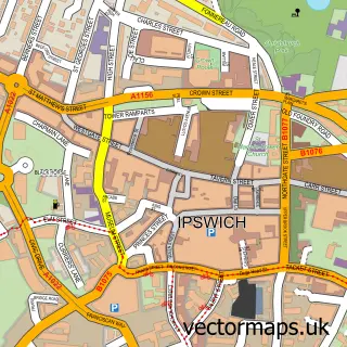
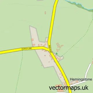
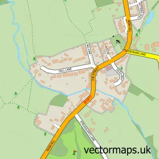
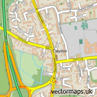
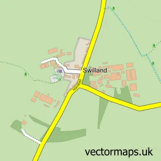
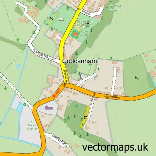
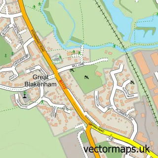
Nearby street map samples around Henley

More street maps in Suffolk
750 metre map area coverage
Boundary, postcode and point of interest information for the 750m x 750m rectangle centred on this sample map.
Boundaries containing map centre
Constituency: Central Suffolk and North Ipswich Co Const
County: Suffolk County
District: Mid Suffolk District
Icb: NHS Essex ICB
Parish: Henley CP
Police Force: suffolk
Postcode District: IP6
Postcode Sector: IP6 0
Ward: Claydon & Barham Ward
Nearby boundaries intersecting sample
No additional intersecting boundaries found.
Postcode coverage
POI category counts
Automotive Repair: 2
Anglican Church: 1
Arts And Entertainment: 1
Beauty Salon: 1
Church Cathedral: 1
Community Center: 1
Dance School: 1
Flowers And Gifts Shop: 1
Makeup Artist: 1
Naturopathic Holistic: 1
Sample points of interest
- Henley: St Peter
- Ravens Air Soft
- Advanced Dent Repairs
- Fiveways Garage
- Leanne Marie Professional Skincare and Beauty
- St Peter's Church
- Henley Community Centre
- En Pointe School of Dancing
- Henley Flowers
- So_naturelle_
- Miranda Hilton - Natural Allergy Therapist
- Adrydog Property Photography
Create a larger editable map of Henley
This sample shows only a 750 metre area. To create a larger map of Henley, use our map builder to choose your own coverage area, add titles and download editable SVG, PDF and PNG files.
Create a custom map of Henley