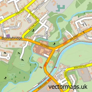
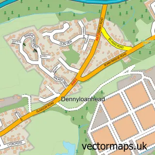
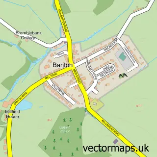
This Haggs street map is a detailed vector street map covering a 750m x 750m area. Select a larger area to create and download your own vector street map of Haggs.
The 750-metre map sample for Haggs covers 141 mapped buildings and approximately 14.3 km of road detail, of which 11 named roads are named. The immediate area includes 4 MOT stations within 2 miles. The wider area around Haggs features 1 food and drink venue. To create a larger or custom map of Haggs, the map builder lets you define your own coverage area and download editable SVG, PDF and PNG files.
Create a larger editable map of Haggs
Choose any area you need and generate a high-quality vector map instantly. Perfect for print, planning, design, business and personal use.

This Haggs street map in Stirling and Falkirk is available as downloadable SVG, PDF and PNG map files, or as a printed map for planning, business, display, education, local information and design work. You can also create a larger custom map area using the map selector.
What this Haggs map sample shows
Haggs lies within Falkirk parish, part of Denny And Banknock ward in the Falkirk local authority area. The postcode geography for this area includes the FK postcode area, the FK4 postcode district and the FK4 1 postcode sector. Residents fall under the Forth Valley for NHS services.
Local features near Haggs
Within 2 milesAmenities and services in and around Haggs.
Administrative and postcode information for Haggs
Haggs lies within Falkirk parish, part of Denny And Banknock ward in the Falkirk local authority area. The postcode geography for this area includes the FK postcode area, the FK4 postcode district and the FK4 1 postcode sector. Residents fall under the Forth Valley for NHS services.
Nearby street map samples around Haggs

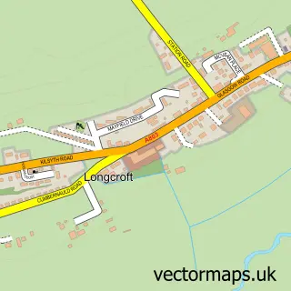
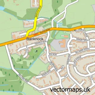
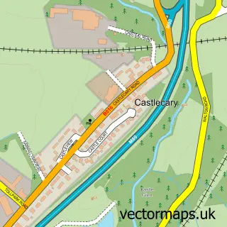
More street maps in Stirling and Falkirk
750 metre map area coverage
Boundary, postcode and point of interest information for the 750m x 750m rectangle centred on this sample map.
Boundaries containing map centre
Constituency: Falkirk Co Const
District: Falkirk
Icb: Forth Valley
Postcode District: FK4
Postcode Sector: FK4 1
Ward: Denny and Banknock Ward
Nearby boundaries intersecting sample
No additional intersecting boundaries found.
Postcode coverage
POI category counts
Grocery Store: 2
Pharmacy: 2
Post Office: 2
Art Gallery: 1
Auto Customization: 1
Catholic Church: 1
Coffee Shop: 1
Community Center: 1
Contractor: 1
Dance School: 1
Sample points of interest
- Lafferty Fine Art
- Autotecnique Paint & Body
- Denny Old and Haggs United
- Costa Express
- Community Centre Banknock
- GCM Services
- C.EMM Dance
- Rabs Rambles dog walking
- The Co-operative Pharmacy
- Co-op Food
- Scotmid Co-operative
- Krop Shop
Create a larger editable map of Haggs
This sample shows only a 750 metre area. To create a larger map of Haggs, use our map builder to choose your own coverage area, add titles and download editable SVG, PDF and PNG files.
Create a custom map of Haggs