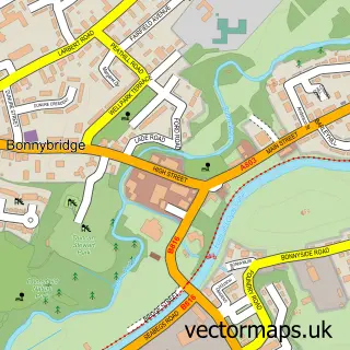
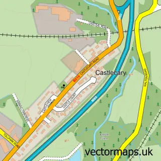
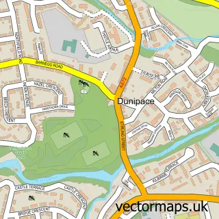
This Longcroft street map is a detailed vector street map covering a 750m x 750m area. Select a larger area to create and download your own vector street map of Longcroft.
The 750-metre map sample for Longcroft covers 152 mapped buildings and approximately 6.5 km of road detail, of which 7 named roads are named. The immediate area includes 2 GP surgeries within 2 miles and 1 MOT station, with 8 within 2 miles. The wider area around Longcroft features 2 food and drink venues. To create a larger or custom map of Longcroft, the map builder lets you define your own coverage area and download editable SVG, PDF and PNG files.
Create a larger editable map of Longcroft
Choose any area you need and generate a high-quality vector map instantly. Perfect for print, planning, design, business and personal use.

This Longcroft street map in Stirling and Falkirk is available as downloadable SVG, PDF and PNG map files, or as a printed map for planning, business, display, education, local information and design work. You can also create a larger custom map area using the map selector.
What this Longcroft map sample shows
Longcroft lies within Falkirk parish, part of Denny And Banknock ward in the Falkirk local authority area. The postcode geography for this area includes the FK postcode area, the FK4 postcode district and the FK4 1 postcode sector. Residents fall under the Forth Valley for NHS services.
Local features near Longcroft
Within 2 milesAmenities and services in and around Longcroft.
Administrative and postcode information for Longcroft
Longcroft lies within Falkirk parish, part of Denny And Banknock ward in the Falkirk local authority area. The postcode geography for this area includes the FK postcode area, the FK4 postcode district and the FK4 1 postcode sector. Residents fall under the Forth Valley for NHS services.
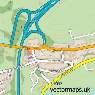
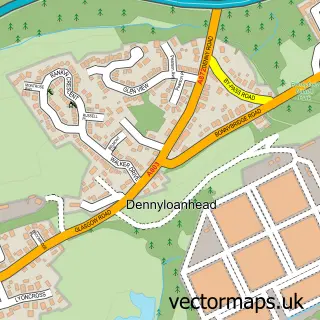
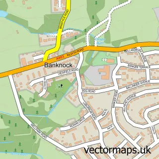
Nearby street map samples around Longcroft

More street maps in Stirling and Falkirk
750 metre map area coverage
Boundary, postcode and point of interest information for the 750m x 750m rectangle centred on this sample map.
Boundaries containing map centre
Constituency: Falkirk Co Const
District: Falkirk
Icb: Forth Valley
Postcode District: FK4
Postcode Sector: FK4 1
Ward: Denny and Banknock Ward
Nearby boundaries intersecting sample
No additional intersecting boundaries found.
Postcode coverage
POI category counts
Automotive Repair: 3
Professional Services: 2
Restaurant: 2
Aquarium Services: 1
Community Services Non Profits: 1
Contractor: 1
Dog Trainer: 1
Engineering Services: 1
Food Stand: 1
Hostel: 1
Sample points of interest
- New Concept Aquatics Ltd.
- D & D Bell
- PMH Coachbuilders
- Unipart Car Care Centre
- Combat International
- John Henderson & Sons
- Clicktrain K9 Centre
- Plumbspares Wholesale
- Belle's Baps
- Loc Hire
- Brighter Blinds & Services
- Horticultural Services
Create a larger editable map of Longcroft
This sample shows only a 750 metre area. To create a larger map of Longcroft, use our map builder to choose your own coverage area, add titles and download editable SVG, PDF and PNG files.
Create a custom map of Longcroft