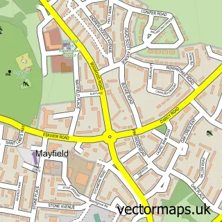
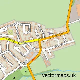
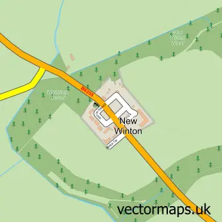
This Humbie street map is a detailed vector street map covering a 750m x 750m area. Select a larger area to create and download your own vector street map of Humbie.
The 750-metre map sample for Humbie covers 44 mapped buildings and approximately 10.7 km of road detail, of which 2 named roads are named. To create a larger or custom map of Humbie, the map builder lets you define your own coverage area and download editable SVG, PDF and PNG files.
Create a larger editable map of Humbie
Choose any area you need and generate a high-quality vector map instantly. Perfect for print, planning, design, business and personal use.

This Humbie street map in East Lothian is available as downloadable SVG, PDF and PNG map files, or as a printed map for planning, business, display, education, local information and design work. You can also create a larger custom map area using the map selector.
What this Humbie map sample shows
Humbie lies within East Lothian parish, part of Haddington And Lammermuir ward in the East Lothian local authority area. The postcode geography for this area includes the EH postcode area, the EH36 postcode district and the EH36 5 postcode sector. Residents fall under the Lothian for NHS services.
Administrative and postcode information for Humbie
The local authority covering Humbie is East Lothian, within the county of East Lothian. The settlement lies within Haddington And Lammermuir ward and East Lothian civil parish. The EH36 postcode district and EH36 5 postcode sector serve the immediate area. NHS provision in the area is delivered through Lothian.
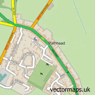
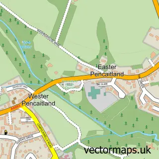
Nearby street map samples around Humbie

More street maps in East Lothian
750 metre map area coverage
Boundary, postcode and point of interest information for the 750m x 750m rectangle centred on this sample map.
Boundaries containing map centre
Constituency: Lothian East Co Const
District: East Lothian
Icb: Lothian
Postcode District: EH36
Postcode Sector: EH36 5
Ward: Haddington and Lammermuir Ward
Nearby boundaries intersecting sample
No additional intersecting boundaries found.
Postcode coverage
POI category counts
Architectural Designer: 2
Cinema: 1
Elementary School: 1
Energy Company: 1
Shopping: 1
Town Hall: 1
Sample points of interest
- Geo Ply
- Leask Architects
- Humbie Box Office
- Humbie Primary School
- Connected Kerb Charging Stations
- Humbie Hub
- Humbie Village Hall
Create a larger editable map of Humbie
This sample shows only a 750 metre area. To create a larger map of Humbie, use our map builder to choose your own coverage area, add titles and download editable SVG, PDF and PNG files.
Create a custom map of Humbie