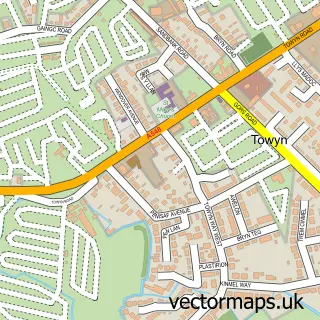
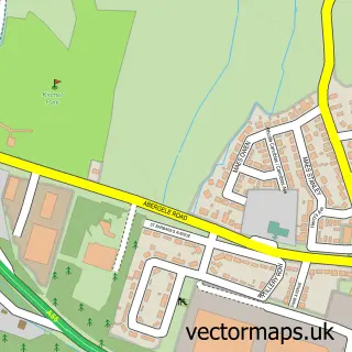
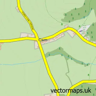
This Kinmel Bay street map is a detailed vector street map covering a 750m x 750m area. Select a larger area to create and download your own vector street map of Kinmel Bay.
The 750-metre map sample for Kinmel Bay covers 584 mapped buildings and approximately 19.6 km of road detail, of which 41 named roads are named. The immediate area includes 1 GP surgery within 2 miles, 3 pubs and 1 MOT station, with 12 within 2 miles. The wider area around Kinmel Bay features 1 tourism point of interest, 5 food and drink venues and 4 hotels. To create a larger or custom map of Kinmel Bay, the map builder lets you define your own coverage area and download editable SVG, PDF and PNG files.
Create a larger editable map of Kinmel Bay
Choose any area you need and generate a high-quality vector map instantly. Perfect for print, planning, design, business and personal use.

This Kinmel Bay street map in Clwyd is available as downloadable SVG, PDF and PNG map files, or as a printed map for planning, business, display, education, local information and design work. You can also create a larger custom map area using the map selector.
What this Kinmel Bay map sample shows
Kinmel Bay lies within Kinmel Bay And Towyn Community parish, part of Kinmel Bay ward in the Conwy - Conwy local authority area. The postcode geography for this area includes the LL postcode area, the LL18 postcode district and the LL18 5 postcode sector. Residents fall under the Betsi Cadwaladr University Health Board for NHS services.
Local features near Kinmel Bay
Within 2 milesAmenities and services in and around Kinmel Bay.
Administrative and postcode information for Kinmel Bay
Kinmel Bay lies within Kinmel Bay And Towyn Community parish, part of Kinmel Bay ward in the Conwy - Conwy local authority area. The postcode geography for this area includes the LL postcode area, the LL18 postcode district and the LL18 5 postcode sector. Residents fall under the Betsi Cadwaladr University Health Board for NHS services.
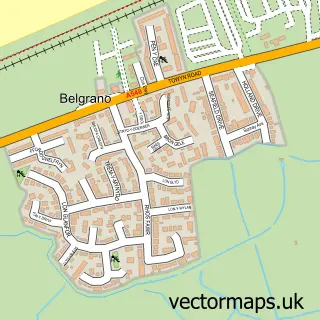
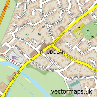
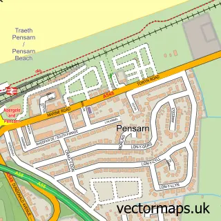
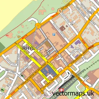
Nearby street map samples around Kinmel Bay

More street maps in Clwyd
750 metre map area coverage
Boundary, postcode and point of interest information for the 750m x 750m rectangle centred on this sample map.
Boundaries containing map centre
Constituency: Clwyd North Co Const
District: Conwy - Conwy
Icb: Betsi Cadwaladr University
Parish: Kinmel Bay and Towyn Community
Police Force: north wales
Postcode District: LL18
Postcode Sector: LL18 5
Nearby boundaries intersecting sample
No additional intersecting boundaries found.
Postcode coverage
POI category counts
Beauty Salon: 4
Pharmacy: 4
Fish And Chips Restaurant: 3
Post Office: 3
Pub: 3
Rv Park: 3
Supermarket: 3
Carpet Store: 2
Chinese Restaurant: 2
Driving School: 2
Sample points of interest
- The Willows Holistic Therapies
- Alastair House Nursing Home
- We Buy Any Car Rhyl
- Shaws Service Station
- HSBC Bank
- Kinmel bay social club
- Kinmel Bay Beach
- The Nail Station - By Laura
- AJS Beauty & Education
- Beauty with Tammy Rose
- Hair at Lainey Hughes
- Tanz N hair
Create a larger editable map of Kinmel Bay
This sample shows only a 750 metre area. To create a larger map of Kinmel Bay, use our map builder to choose your own coverage area, add titles and download editable SVG, PDF and PNG files.
Create a custom map of Kinmel Bay