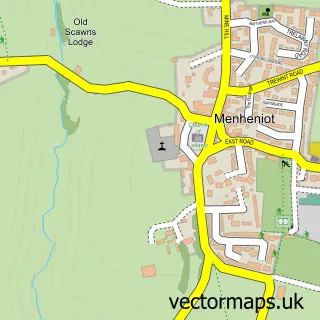
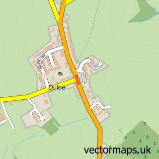
This Liskeard street map is a detailed vector street map covering a 750m x 750m area. Select a larger area to create and download your own vector street map of Liskeard.
The 750-metre map sample for Liskeard covers 449 mapped buildings and approximately 21.4 km of road detail, of which 68 named roads are named. The immediate area includes 1 school, 1 GP surgery, with 2 within 2 miles, 8 pubs and 1 MOT station, with 5 within 2 miles. The wider area around Liskeard features 5 tourism points of interest, 19 food and drink venues and 3 hotels. To create a larger or custom map of Liskeard, the map builder lets you define your own coverage area and download editable SVG, PDF and PNG files.
Create a larger editable map of Liskeard
Choose any area you need and generate a high-quality vector map instantly. Perfect for print, planning, design, business and personal use.

This Liskeard street map in Cornwall is available as downloadable SVG, PDF and PNG map files, or as a printed map for planning, business, display, education, local information and design work. You can also create a larger custom map area using the map selector.
What this Liskeard map sample shows
Liskeard lies within Liskeard Cp parish, part of Liskeard East ward in the Cornwall local authority area. The postcode geography for this area includes the PL postcode area, the PL14 postcode district and the PL14 4 postcode sector. Residents fall under the Nhs Cornwall And The Isles Of Scilly Integrated Care Board for NHS services.
Local features near Liskeard
Within 2 milesAmenities and services in and around Liskeard.
Administrative and postcode information for Liskeard
Liskeard lies within Liskeard Cp parish, part of Liskeard East ward in the Cornwall local authority area. The postcode geography for this area includes the PL postcode area, the PL14 postcode district and the PL14 4 postcode sector. Residents fall under the Nhs Cornwall And The Isles Of Scilly Integrated Care Board for NHS services.
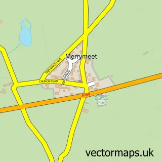
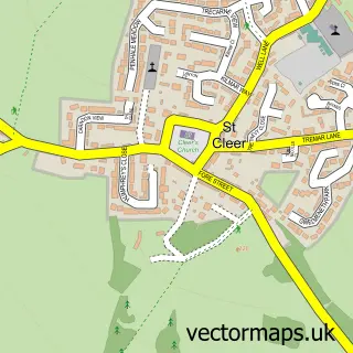
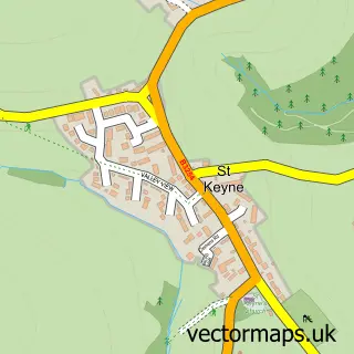
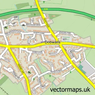
Nearby street map samples around Liskeard

More street maps in Cornwall
750 metre map area coverage
Boundary, postcode and point of interest information for the 750m x 750m rectangle centred on this sample map.
Boundaries containing map centre
Constituency: South East Cornwall Co Const
District: Cornwall
Icb: NHS Cornwall and the Isles of Scilly ICB
Parish: Liskeard CP
Police Force: devon and cornwall
Postcode District: PL14
Postcode Sector: PL14 3
Nearby boundaries intersecting sample
Postcode Sector: PL14 4, PL14 6
Postcode coverage
POI category counts
Beauty Salon: 10
Real Estate Agent: 10
Cafe: 8
Professional Services: 8
Pub: 8
Charity Organization: 7
Clothing Store: 7
Flowers And Gifts Shop: 7
Barber: 6
Gift Shop: 5
Sample points of interest
- Prydis Accounts Ltd.
- Stillpoint Acupuncture - Liskeard
- Healing Horizons
- Cartwheels Restaurant
- St Martin's Church, Liskeard
- Glendale Boarding Kennels
- Salvation Army
- The Emporium
- Toytopia
- H B H Woolacotts
- HBH Woolacotts (Liskeard)
- Newbury Design Architecture
Create a larger editable map of Liskeard
This sample shows only a 750 metre area. To create a larger map of Liskeard, use our map builder to choose your own coverage area, add titles and download editable SVG, PDF and PNG files.
Create a custom map of Liskeard