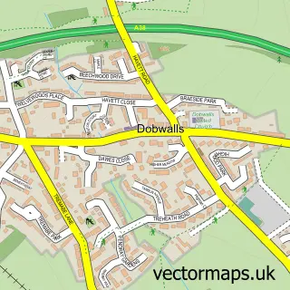
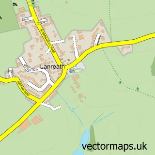
This Doublebois street map is a detailed vector street map covering a 750m x 750m area. Select a larger area to create and download your own vector street map of Doublebois.
The 750-metre map sample for Doublebois covers 90 mapped buildings and approximately 14.7 km of road detail. The immediate area includes 3 MOT stations, with 4 within 2 miles. The wider area around Doublebois features 2 tourism points of interest and 1 campsite within 2 miles. To create a larger or custom map of Doublebois, the map builder lets you define your own coverage area and download editable SVG, PDF and PNG files.
Create a larger editable map of Doublebois
Choose any area you need and generate a high-quality vector map instantly. Perfect for print, planning, design, business and personal use.

This Doublebois street map in Cornwall is available as downloadable SVG, PDF and PNG map files, or as a printed map for planning, business, display, education, local information and design work. You can also create a larger custom map area using the map selector.
What this Doublebois map sample shows
Doublebois lies within Dobwalls Cp parish, part of Menheniot ward in the Cornwall local authority area. The postcode geography for this area includes the PL postcode area, the PL14 postcode district and the PL14 6 postcode sector. Residents fall under the Nhs Cornwall And The Isles Of Scilly Integrated Care Board for NHS services.
Local features near Doublebois
Within 2 milesAmenities and services in and around Doublebois.
Administrative and postcode information for Doublebois
The local authority covering Doublebois is Cornwall, within the county of Cornwall. The settlement lies within Menheniot ward and Dobwalls Cp civil parish. The PL14 postcode district and PL14 6 postcode sector serve the immediate area. NHS provision in the area is delivered through University Hospitals Plymouth Nhs Trust.
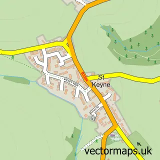
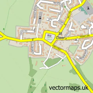
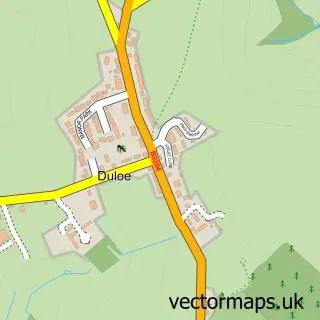
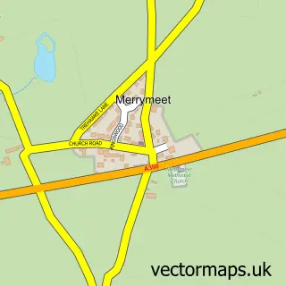
Nearby street map samples around Doublebois

More street maps in Cornwall
750 metre map area coverage
Boundary, postcode and point of interest information for the 750m x 750m rectangle centred on this sample map.
Boundaries containing map centre
Constituency: South East Cornwall Co Const
District: Cornwall
Icb: NHS Cornwall and the Isles of Scilly ICB
Parish: Dobwalls CP
Police Force: devon and cornwall
Postcode District: PL14
Postcode Sector: PL14 6
Nearby boundaries intersecting sample
Postcode Sector: PL14 4
Postcode coverage
POI category counts
Automotive Repair: 5
Building Supply Store: 3
Business Manufacturing And Supply: 2
Campground: 2
Industrial Equipment: 2
Pet Groomer: 2
Accommodation: 1
Auto Body Shop: 1
Automotive Services And Repair: 1
Bakery: 1
Sample points of interest
- Hoburne Doublebois
- John Harding Motorworld
- Dobwalls M.O.T.
- Doublebois Commercial Services
- Doublebois Commercial Services
- In-Line Filters
- The Worxshop
- Doublebois MOT/Garage
- Blakes Bakery
- Bradfords Building Supplies
- Jewson Liskeard
- Richards Builders Merchants
Create a larger editable map of Doublebois
This sample shows only a 750 metre area. To create a larger map of Doublebois, use our map builder to choose your own coverage area, add titles and download editable SVG, PDF and PNG files.
Create a custom map of Doublebois