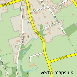
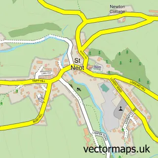
This St Cleer street map is a detailed vector street map covering a 750m x 750m area. Select a larger area to create and download your own vector street map of St Cleer.
The 750-metre map sample for St Cleer covers 314 mapped buildings and approximately 13.2 km of road detail, of which 21 named roads are named. The immediate area includes 1 school, 1 GP surgery within 2 miles, 1 pub and 1 MOT station, with 3 within 2 miles. The wider area around St Cleer features 1 tourism point of interest and 1 food and drink venue. To create a larger or custom map of St Cleer, the map builder lets you define your own coverage area and download editable SVG, PDF and PNG files.
Create a larger editable map of St Cleer
Choose any area you need and generate a high-quality vector map instantly. Perfect for print, planning, design, business and personal use.

This St Cleer street map in Cornwall is available as downloadable SVG, PDF and PNG map files, or as a printed map for planning, business, display, education, local information and design work. You can also create a larger custom map area using the map selector.
What this St Cleer map sample shows
St Cleer lies within St. Cleer Cp parish, part of St Cleer ward in the Cornwall local authority area. The postcode geography for this area includes the PL postcode area, the PL14 postcode district and the PL14 5 postcode sector. Residents fall under the Nhs Cornwall And The Isles Of Scilly Integrated Care Board for NHS services.
Local features near St Cleer
Within 2 milesAmenities and services in and around St Cleer.
Administrative and postcode information for St Cleer
The local authority covering St Cleer is Cornwall, within the county of Cornwall. The settlement lies within St Cleer ward and St. Cleer Cp civil parish. The PL14 postcode district and PL14 5 postcode sector serve the immediate area. NHS provision in the area is delivered through University Hospitals Plymouth Nhs Trust.
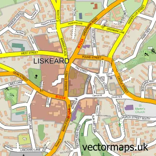
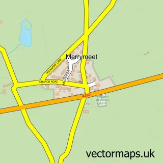
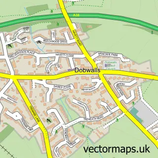
Nearby street map samples around St Cleer

More street maps in Cornwall
750 metre map area coverage
Boundary, postcode and point of interest information for the 750m x 750m rectangle centred on this sample map.
Boundaries containing map centre
Constituency: South East Cornwall Co Const
District: Cornwall
Icb: NHS Cornwall and the Isles of Scilly ICB
Parish: St. Cleer CP
Police Force: devon and cornwall
Postcode District: PL14
Postcode Sector: PL14 5
Nearby boundaries intersecting sample
Postcode Sector: PL14 6
Postcode coverage
POI category counts
Beauty Salon: 2
Anglican Church: 1
Arts And Entertainment: 1
Beauty Product Supplier: 1
Building Contractor: 1
Campground: 1
Church Cathedral: 1
Community Services Non Profits: 1
Construction Services: 1
Corporate Entertainment Services: 1
Sample points of interest
- ST CLEER
- Chloe the Clown
- Top Cuts
- Vanity Hair
- Wellies Hair And Beauty
- Keith Holwill
- Puckator Farm
- St Cleer Parish Church
- St Cleer Ringers
- K R Holwill
- Chloe Clown
- B&P Electrics
Create a larger editable map of St Cleer
This sample shows only a 750 metre area. To create a larger map of St Cleer, use our map builder to choose your own coverage area, add titles and download editable SVG, PDF and PNG files.
Create a custom map of St Cleer